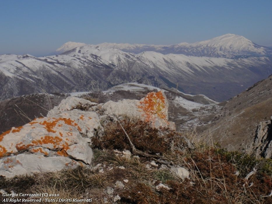
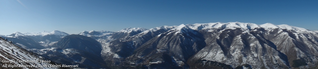
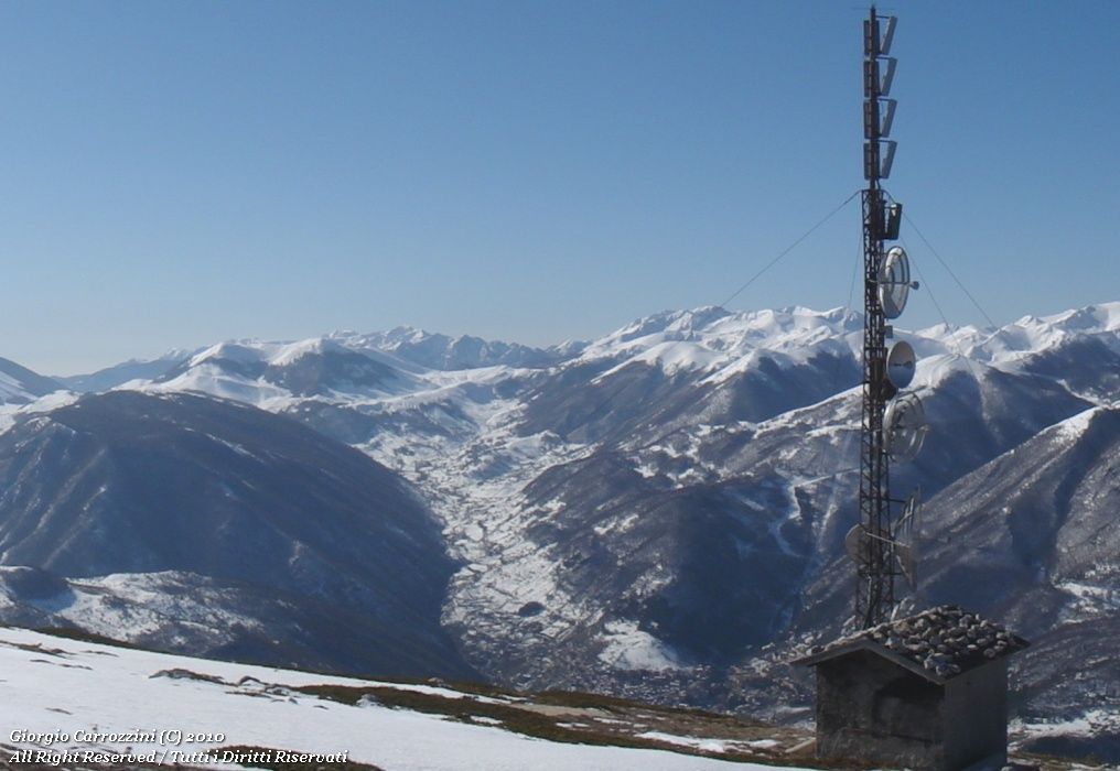
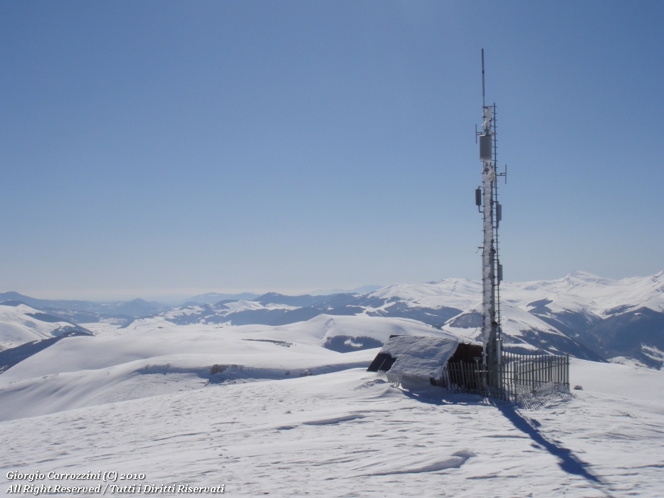
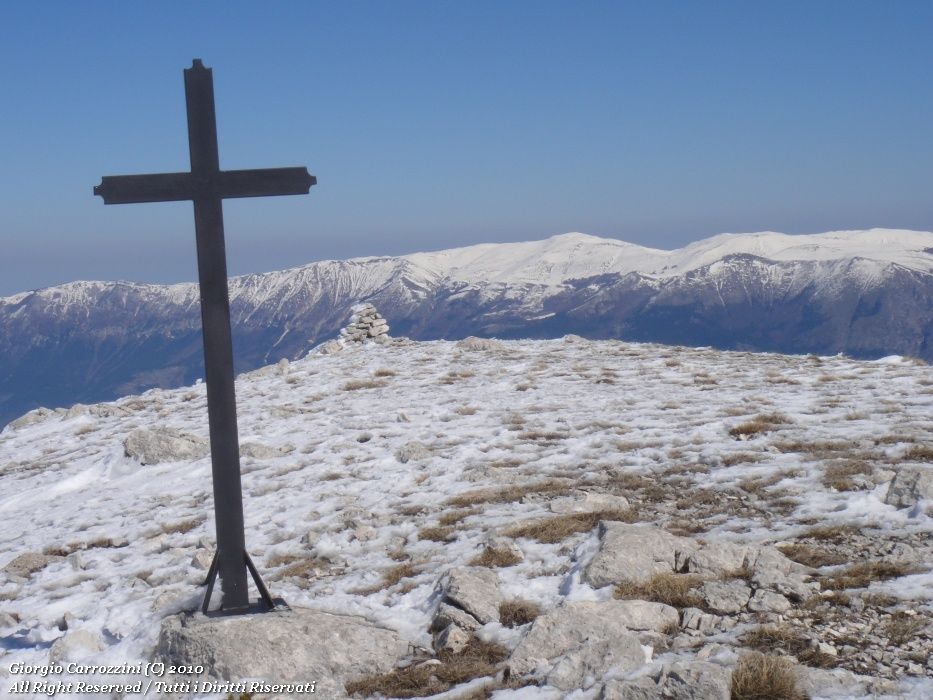
Introduction: A summit that is anything but interesting in its shape and route; its looks are truly monotonous. A pity, too, that the summit of Monte Genzana is disfigured by radio repeaters and antennas. The view over the Montagna Grande (Monte Terratta, Argatone and the whole line of minor summits) is truly excellent. The climb to Monte Genzana can easily be justified by the need to collect summits, but also by the wish for unrepeatable photographs of the mountains of Scanno.
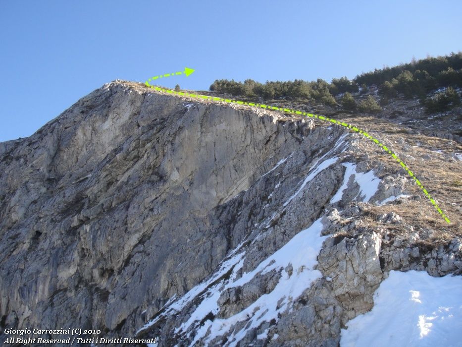
Route characteristics: The direttissima is not waymarked but runs along the ridge line of the great fracture that scars the mountain. The landscape is certainly more pleasant in winter, but a climb in winter conditions can be twice as tiring and long. No particular difficulties to report.
The mountain gives its name to the Monte Genzana e Alto Gizio Nature Reserve.
Route description
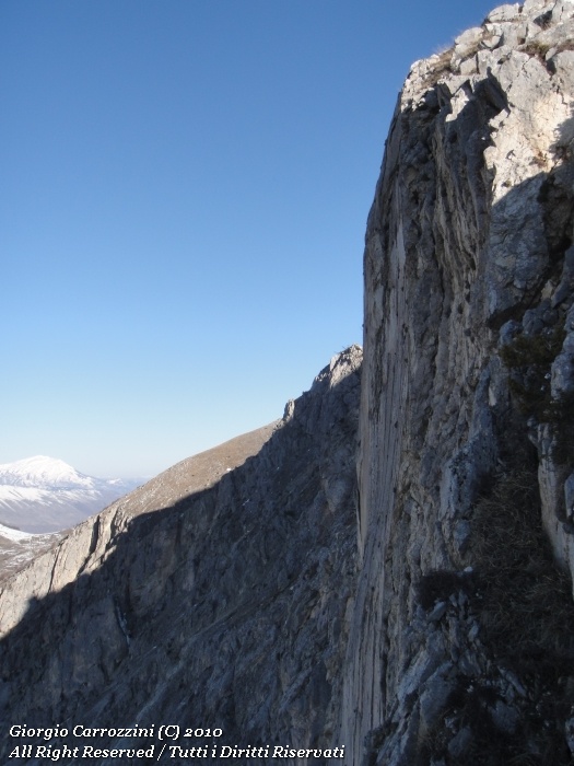
Getting out of the car and looking towards the mountain, you notice on the left an enormous fracture (hence Frattura) that deeply scars the mountain. Along the edge of this fracture a small gully marks the ridge. You climb between the small gully and the edge of the fracture, enjoying, what is more, an interesting view into the fracture itself. Once past the fracture you keep climbing, the slope becomes monotonous, and still monotonous... you pass close to an antenna-repeater and then carry on without ever seeing the end of the route, right up to the summit, where at last (and unfortunately) a structure of solar panels and radio antennas appears.
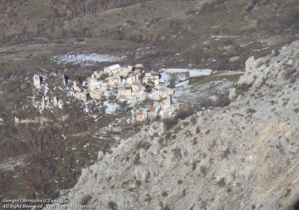
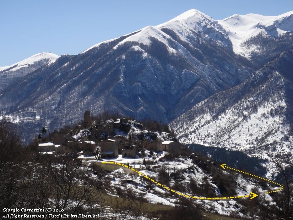
From the summit of Monte Genzana you continue across a wide saddle heading north-west to the nearby summit of Monte Rognone. The view from Monte Rognone opens out towards Sulmona and the mountains of the Majella. The recommended descent route is the one that from the summit of Monte Rognone goes down the southern ridge towards a very obvious stazzo (shepherds' stone enclosure) halfway down the slope. The ruined stazzo is your reference point for the descent. Once at the stazzo you start looking for the gravel road that leads to the ruins of Frattura Vecchia, a very evocative abandoned village of houses (a visit is recommended). To leave the village you follow the white gravel road that leads to Frattura Nuova. Shortly before getting back into the village you cut across the slope towards the upper part of the village, where we left the car. Alternatively, a walk through the village is a way to discover the desolation of mountain villages which (alas) are emptying out, leaving the population of silent old people even more alone.
Variants and alternatives
The alternative, for a quicker way down, is to go back to Monte Genzana and retrace the ascent route.
Notes on effort and difficulty
Frequently asked questions
How demanding is the climb to Monte Genzana by the direttissima?
It is an EE- loop (for experienced hikers, lower end of the grade) of about 10 km with 1110 m of ascent and about 5 hours 30 minutes of walking. It has no mountaineering difficulties, but waymarks and traces of path are absent and on snow-covered ground it becomes much more tiring.
Where do you start and where do you come down?
You start from the upper part of Frattura Nuova and climb along the edge of the great fracture that scars the mountain. After Monte Rognone you descend towards a ruined stazzo (shepherds' stone enclosure) and the ruins of Frattura Vecchia, returning to the village by the gravel road.