It always starts like this. On Monday you're back in the office and you start thinking about what to do the following weekend. I ask Gaetano “Shall we organise something for Saturday?” he answers “where are we going?”, and I come back with “always the same old places, let's go somewhere new, let's see …. do you remember Casmau's video, when he went skiing above Formia?” “Yes, I certainly do, I remember what he came up with!”; “I bet you remember the trattoria too?” “That one I don't remember.“ “Yes, I don't believe it for a second! hang on while I do some research and we'll organise the whole thing.” This is how the hike in the Aurunci area on Monte Petrella, the highest mountain in the area, began.
Departure Saturday, meeting at the entrance to the Frosinone motorway toll booth at 7.30. Punctual as two Swiss watches, we get on the motorway, heading for Naples, come off at the Cassino toll booth and turn off for Formia; at the Itaca shopping centre we turn off towards Maranola. From here we follow the signs for the Redentore, which take us out of Maranola on a narrow, winding tarmac road as far as the Pornito car park (819 m), near the Comunità Montana forestry house. Here we park the car, get ready for the ascent and the show begins.
The path up to the summit of the Redentore is lined with railings, as it is part of a “religious path” that runs from Maranola to the Eremo di San Michele (1158 m), which you reach with a small detour from the path, shortly before Cima del Redentore. The pilgrimage takes place twice a year, on the last Sunday of June and on 29 September. In June the statue of the saint, in black piperino marble, is carried by hand up to the hermitage, and in September it is brought back to the village.
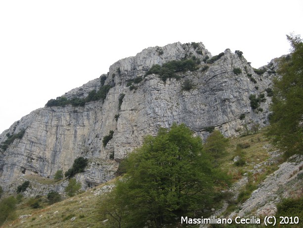
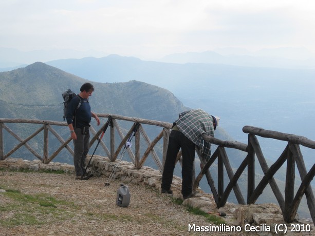
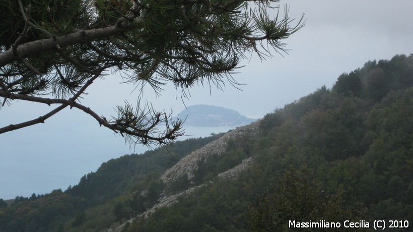
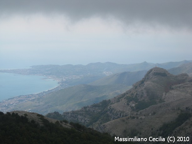
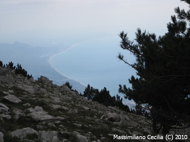
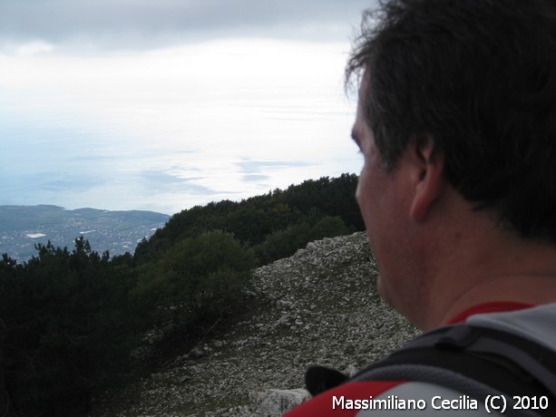
The show comes from the splendid landscape all around us: on our left rise high rock walls, on our right the Gulf of Gaeta, and walking in this contrast is something indescribable, you just have to try it. Unfortunately the weather is not the best: we were hoping for a clear day, so that we could admire the whole view, but the overcast sky and the haze have played a nasty trick on us, so much so that we start thinking about rain. With a steady, brisk pace we zigzag up the path, stopping every so often to gaze at the view and take photos. In particular, as I walk, my eye lingers on a ferry leaving the port of Formia towards the islands, an unusual sight for a “mountain man”.
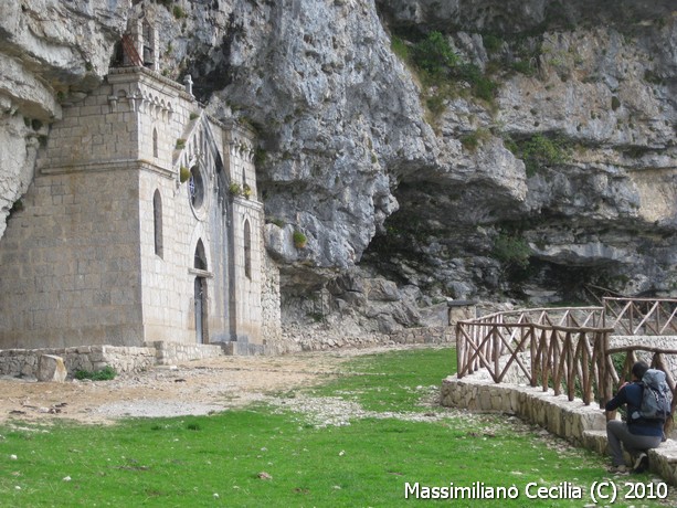
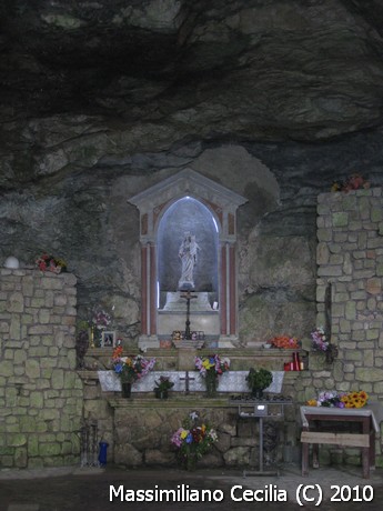
From the path we turn off towards the Eremo di San Michele, a building carved out of the rock that reminds you of the sanctuary of the Santissima Trinità at Vallepietra. The hermitage is a small church set into the rock, with a stone front closing off a natural cavity.
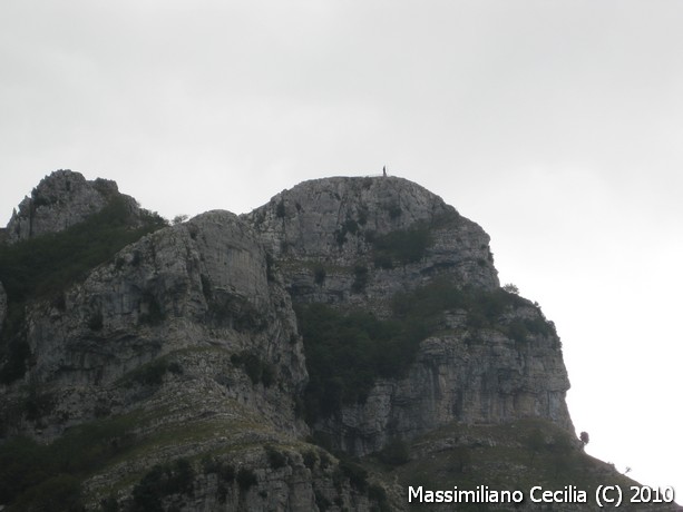
A short break and we carry on, via Sella Sola, to the summit of the Redentore (1252 m), so called because on top of a dome-shaped building there is a cast-iron statue of the Redeemer, 4 m tall. It is one of the 20 monuments raised on the most representative Italian summits at the beginning of the Jubilee year of 1900, to celebrate the start of the new century. This is a stupendous panoramic balcony, from which the view ranges from Vesuvius to the Circeo.
Here we met “Uncle Tullio”, a tireless character from Maranola, who offered us an exquisite home-made fragolino (strawberry wine), telling us all about Maranola, the Eremo di San Michele, the statue of the Redeemer and the Monti Aurunci.
Rucksacks back on our shoulders and reinvigorated by Uncle Tullio's fragolino, we go down from Cima del Redentore, taking the path that, between Monte Categlia and Monte Rusco, crosses the Valliera as far as the gravel road that starts from the Forcella di Fraile and leads to the Fontana di Canale, where there are troughs collecting spring water.
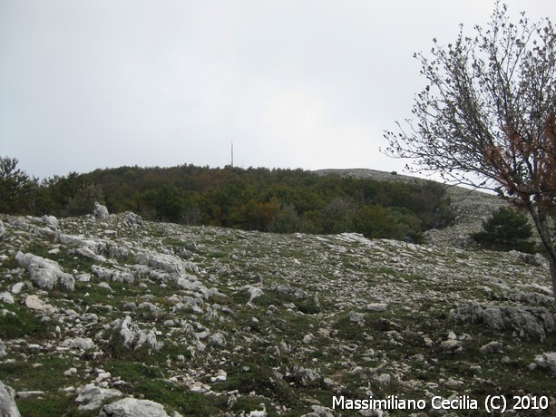
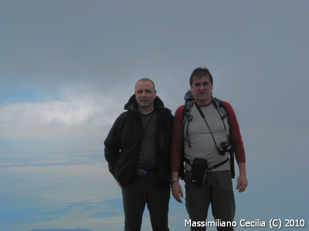
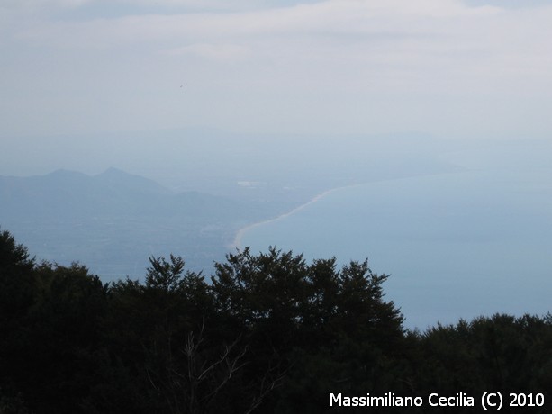
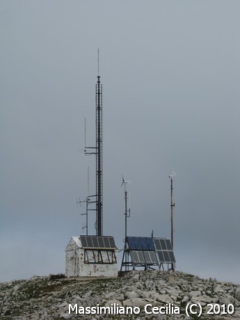
From here the path climbs through the wood up to the summit of Monte Petrella (1553 m), whose top is easy to spot because of the aerials towering over it. Here, on days without haze, the eye can rest on Vesuvius, the islands of Campania, the Pontine Islands, the Circeo, the Lepini, the Simbruini, the Mainarde, the Matese and Roccamonfina. Today the day is not the best, visibility is limited; slight clearings let us see the gulf, Gaeta and the Pontine Islands, but not the inland.
For the return we took the panoramic ridge path over Monte Campetelle (1450 m) and Monte S. Angelo (1404 m) until we picked up the outward path again to reach Sella Sola and go back down to the Pornito car park.
Even if it wasn't a splendid day for the view, it was certainly a splendid day for the glimpses we were able to admire, between sea and mountains, in perfect harmony.
As for times, we took 1 hour to Cima del Redentore and another 2 hours to get to Monte Petrella; for the return to the car park from Monte Petrella, 2 hours.
Photo gallery













Fact sheet
- Hike fact sheet
Fact sheet not yet available...