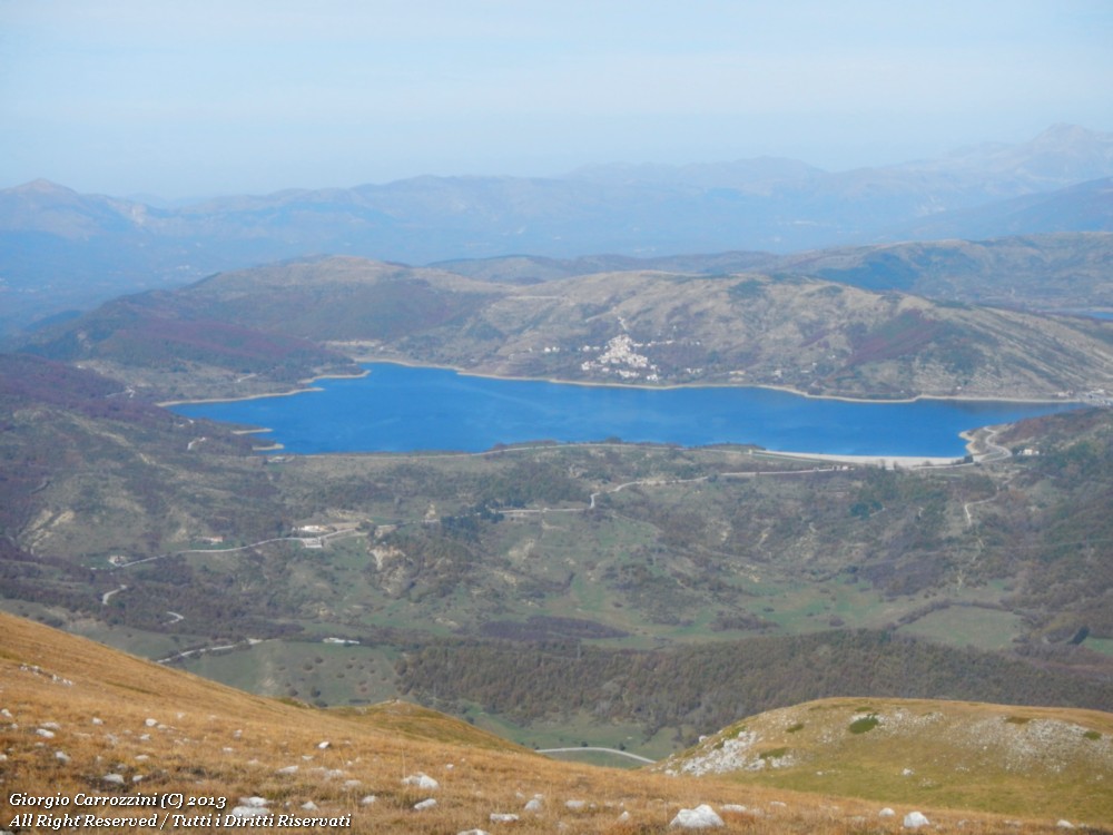
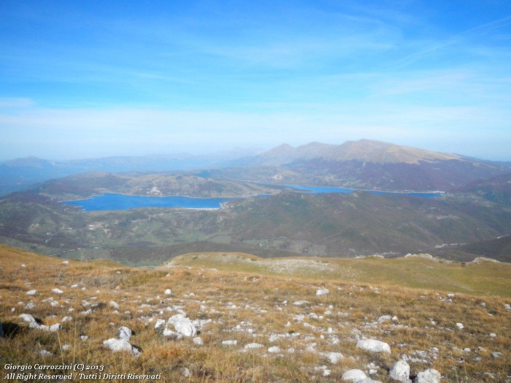
Introduction: A wide-ranging loop hike, with a walk through the rich woods of Monte San Franco and along its broad ridge, which gives a beautiful view over Lago di Campotosto. A hike better suited to June and July, with the awakening of spring, than to the autumn months.
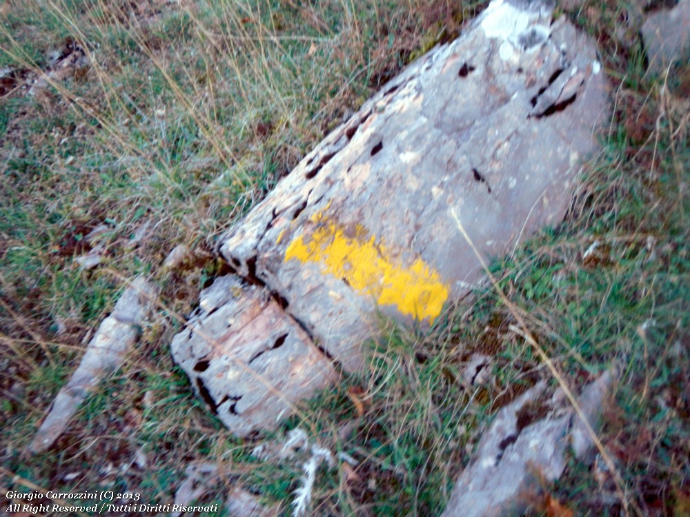
Route features: The route links CAI paths 112 and 111 with ease. Path 112 does give some trouble, though: in its first stretch it is poorly waymarked and you risk getting lost in the woods.
Monte San Franco is part of the Gran Sasso e Monti della Laga National Park.
Route description
You park the car near the gravel road, where you spot the signs pointing to (Ponte della Lama). Follow the gravel road to the first junction, then turn sharply back onto a smaller gravel road, keeping the mine behind you. From here, two more hairpin bends. At the third hairpin, a wide area of red rocks, you can see the little house and the profile of the ridge that climbs to the San Franco.
Here you leave the gravel road and drop about 20 metres towards some trees.
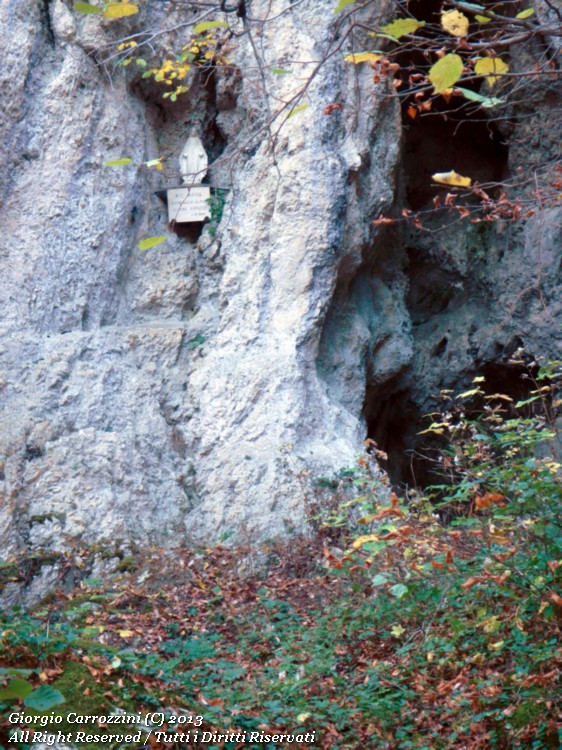
Careful, this is the most critical point: you need to avoid the gravel road to find the path that runs just below.
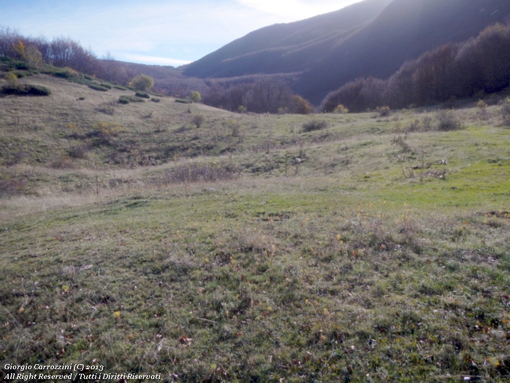
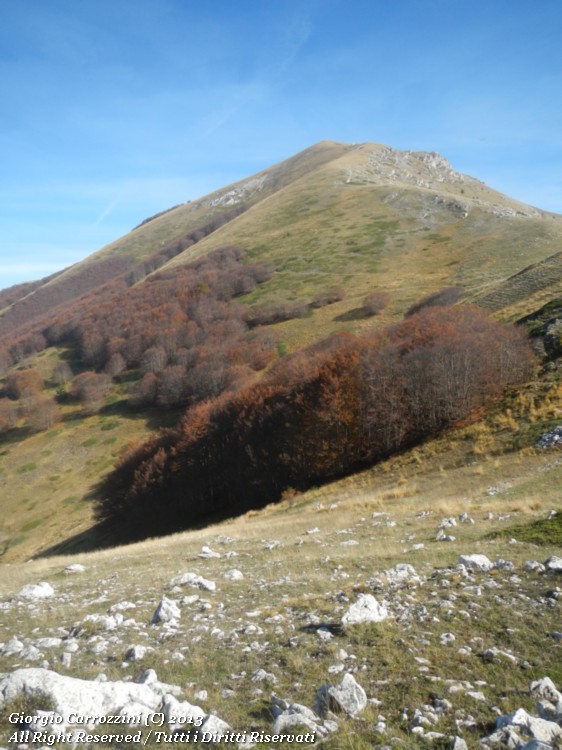
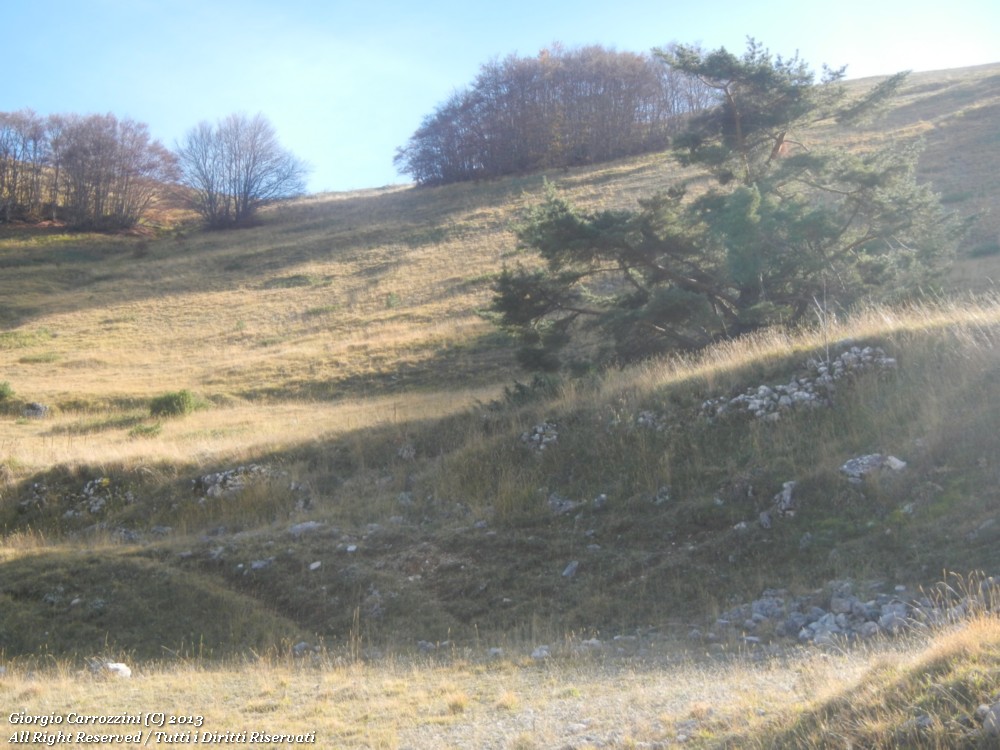
The path moves outside the woods for almost 1.5 km, then starts to climb inside the woods. In the woods we pick up a gravel road again that will take us almost all the way to Rifugio Panepucci. We pass first one and then two (wonderful) clearings that offer a view of the Coppo del Monte San Franco. Always against the light, but you can make out how very interesting it looks.
Coming out of the woods we immediately reach Rifugio Panepucci; here we can continue along the normal route (exaggeratedly waymarked with red and white paint marks every 20 metres.
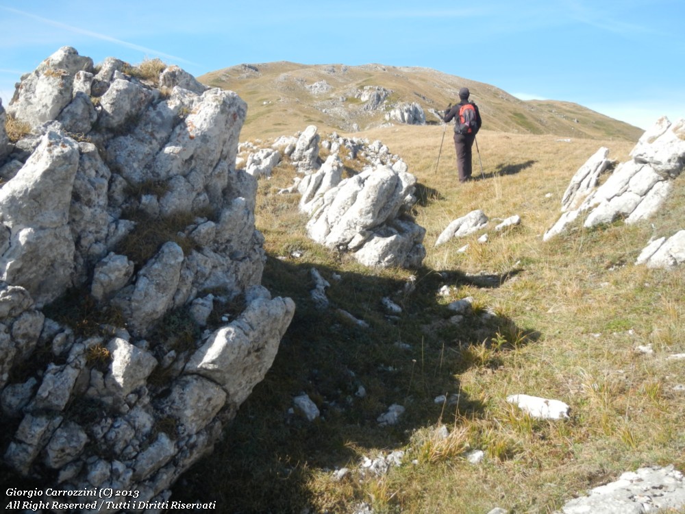
The normal route heads south-west to the broad saddle with Monte Ienca. Here it's easy to find horses grazing. We curve round to the south-east, following the intuitive position of the summit of the San Franco. This last stretch is truly gruelling, psychologically too. You've walked almost 7 kilometres and there's still about 1.5 km to go. The summit is almost never in sight: past one hump we find another and then another still, it feels like you'll never get there, and this doesn't help you dig into the last strength left in your legs. After some rocks poking out of the meadow and high-altitude dolines, at last the summit with its boundary stone and the bent cross.
A rest on the summit; for the return you simply follow the ridge line down to the saddle, where you stop near a group of trees. You find the gravel road and return to the car in the Ponte della Lama area.
Variants and alternatives
No variants. It may be possible to climb straight from Rifugio Panepucci to the summit of Monte San Franco along the wooded ridge line. But we haven't yet been able to try it. It looks like an interesting but awkward route because of the dense woods.
Notes on effort and difficulty
Visitor centres and accommodation
Rifugio Panepucci
Frequently asked questions
When is the best time for the Monte San Franco loop?
June and July, with the awakening of spring, rather than the autumn months, when the wooded slope stays largely in shadow. From the ridge you get the view over Lago di Campotosto and the summits of the Corvo, the Intermesoli and the Corno Grande.
Is the Monte San Franco route well waymarked?
Only partly: the first stretch of CAI path 112, on the northern side, is poorly marked and confusing, with the risk of getting lost in the woods, so a map is essential. From Rifugio Panepucci to the summit, on the other hand, the red-and-white waymarks are plentiful.