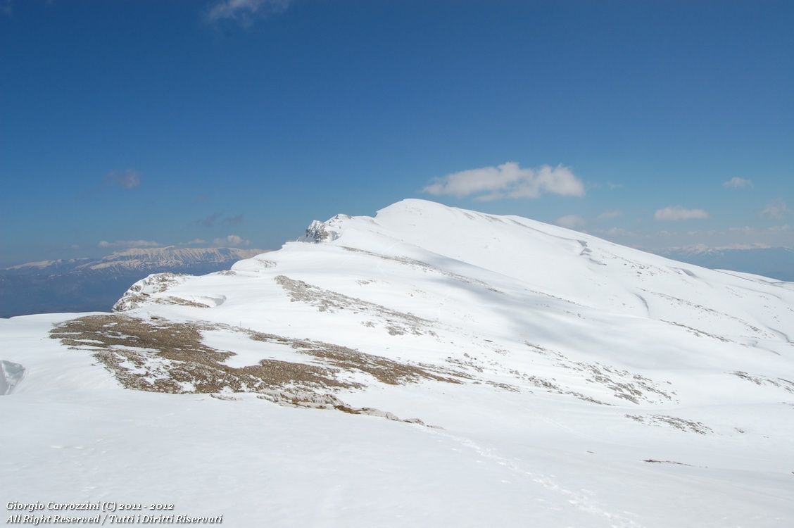
Introduction: This route, not recommended when there is snow cover because of its length, is on the other hand particularly suited to Nordic ski touring and ski mountaineering. The southern side of Monte Sirente, monotonous and not very steep, is at the same time the strength and the weakness of this route. Suited instead to summer and spring outings.
Route features: Most of the route runs on dirt road; very intuitive, on the other hand, from Prato Popolo onwards. The summit of Monte Sirente is easy to identify. Harder, instead, to pick out the summit of Punta Macerola. Beware of fog banks: it is very easy to get lost on the great grassy expanse that slopes slowly down towards the southern plateau.
From the Bocchetta di Prato Popolo you can also climb the nearby Monte Etra from the Val d'Arano.
Route description
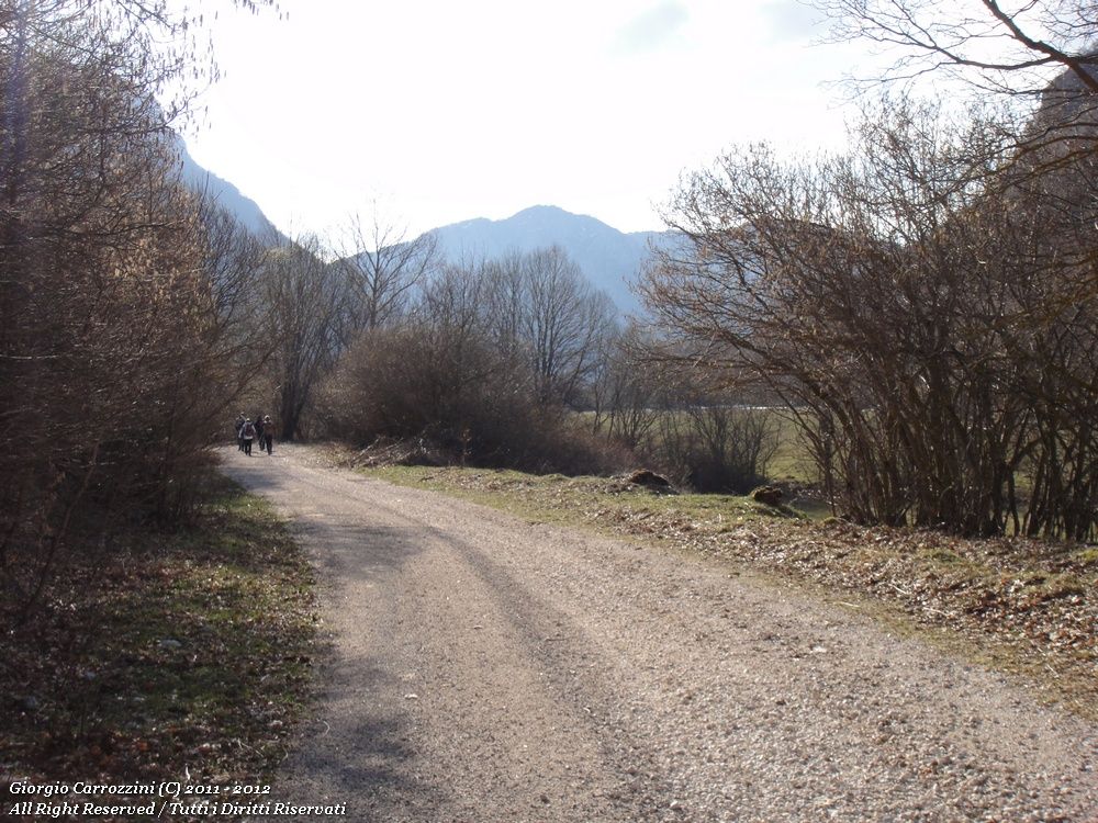
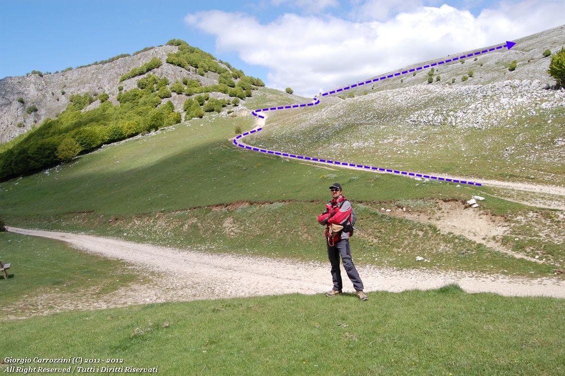
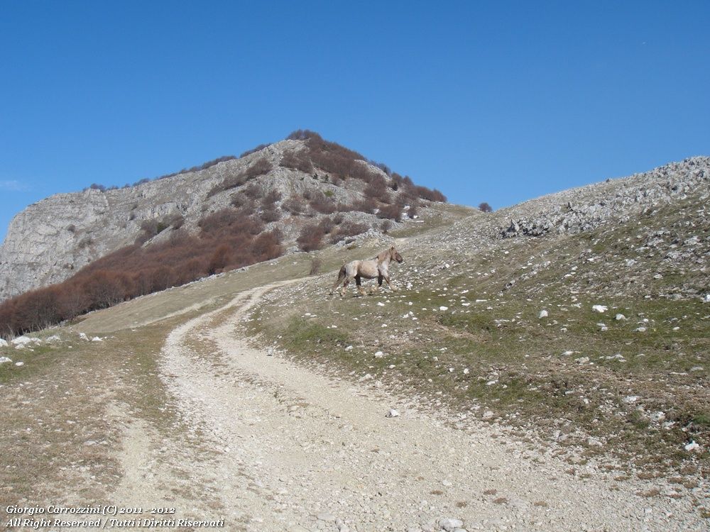
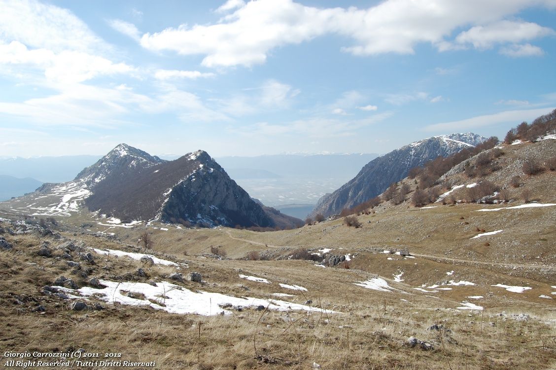
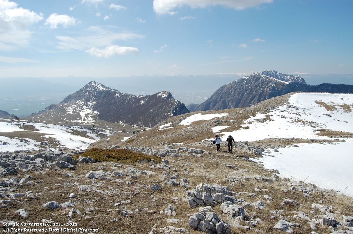
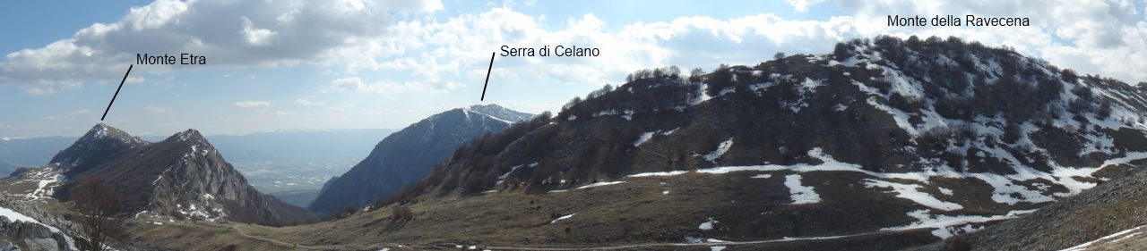
At the no-entry sign you take the road that climbs towards the Sirente. This long, very comfortable dirt road leads up to 1800 metres on an extremely gentle gradient. After about three kilometres on foot, two bends, first left then right, bring you to the Bocchetta di Prato Popolo. Looking at the southern side of Monte Sirente we notice that it slopes gently down in a series of hills and dolines. On our right we have the outline of Monte Etra, on the left Monte della Ravecena. We go back up the dirt road for a stretch towards Monte della Ravecena, for about 400-500 metres, and then tackle the long inclined plane that leads to the summit of Monte Sirente. The summit stays hidden behind the humps of the mountain. In fact the summit is not very obvious. You only really pin down its exact position when you are almost at 2000 m. There are still more than 300 metres of ascent to go. Among dolines, boulders and low knolls we move keeping a north-north-east (NNE) direction. Slowly, following the erosion gullies of the mountain, we tend to bear more and more to the north-east. The ascent in snow can be extremely tiring if you have no snowshoes or skis. In summer, on the other hand, the route can be long and at times boring.
Once on the summit of the Sirente we have, to the north-north-west, the barely pronounced summit of Punta Macerola. The return is very intuitive: you head straight for the Bocchetta di Prato Popolo, very obvious and wedged between Monte Etra and Monte della Ravecena. Careful: in fog this great inclined plane (the southern side of the Sirente) can turn out to be a perfect place to lose your bearings. Remember to bring a compass and a map to find the right line again. At the Bocchetta di Prato Popolo we find the dirt road again, which will take us easily back to the car.
Variants and alternatives
From the Bocchetta di Prato Popolo you can climb to the summit of nearby Monte Etra.
Notes on effort and difficulty
Frequently asked questions
How long does it take to climb Monte Sirente from the Val d'Arano?
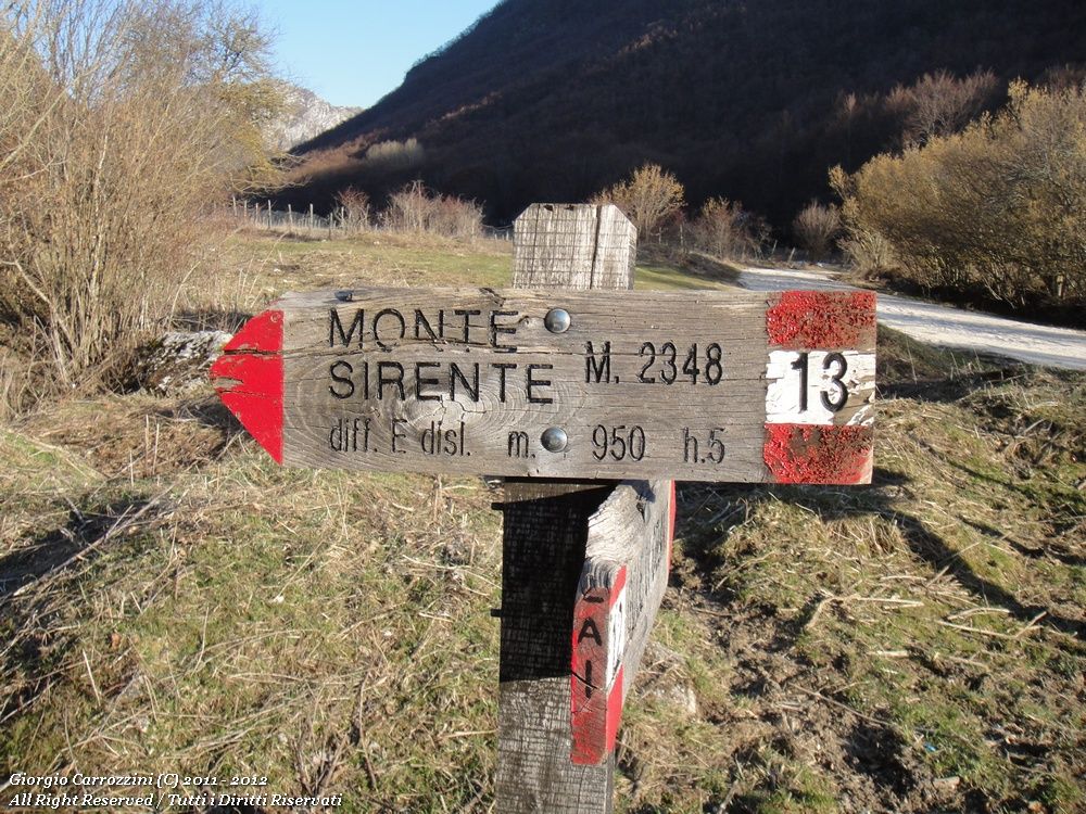
The fact sheet gives about 10 hours in all for 18 km and 950 metres of ascent. Most of the route is on a gently sloping dirt road up to the Bocchetta di Prato Popolo; then you climb the long southern side.
Can you climb the Sirente from the Val d'Arano in snow?
On foot it is not recommended because of the length: without snowshoes or skis the ascent in snow is very tiring. The southern side is instead suited to Nordic ski touring and ski mountaineering. In fog you need a compass and a map.