Introduction: The Monti della Duchessa are a subgroup of peaks belonging to the Monte Velino mountain group. Monte Morrone is a peak clearly visible from the A24 motorway, but it gets little attention because of the anonymous look of its southern side. Its northern side, on the other hand, is a deeply eroded glacial cirque with a very interesting appearance.
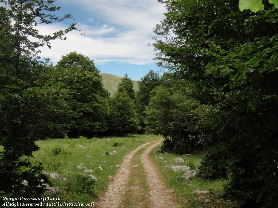
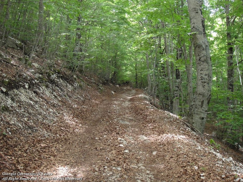
You can reach this summit without too much effort along a dirt road that goes up to over 1800 metres. The landscapes are not particularly attractive, but the beech wood covering these mountains is truly remarkable. The cool beech forest can offer the hiker sure refreshment and shelter during the hot summer months. The panorama is not particularly wide, but it is certainly an environment that is still very unspoilt.
The Montagne della Duchessa are protected by the Montagne della Duchessa Partial Nature Reserve.
From the same junction in the Valle Amara you can also climb Monte Cava via the Prati di San Rocco.
Route description
The path that leads to Monte Morrone via the Valle Amara is fairly simple. There are no obvious ways of getting lost. In practice you follow the dirt road (at times full of large stones) to a junction where a sign shows two different options: left for the Prati di San Rocco and right for Fonte della Vena. You follow the latter along the dirt road, whose surface is very easy to walk on.
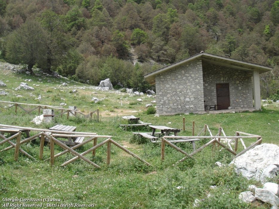
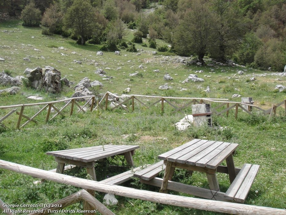
The whole route as far as the stazzi (shepherds' stone enclosures) of Fonte della Vena runs beneath the marvellous beech wood, where the attentive eye will notice some trees of considerable height. Even though this route climbs gradually, it should not be taken lightly: in fact there are a lot of kilometres and the height gain to the summit is over a thousand metres.
Once at the stazzi you carry on beyond them to where you can see the horrible (but necessary) concrete structure for collecting water. This is Fonte della Vena. The water is used in summer to water the flocks.
From the spring you can see the ridge that climbs to the summit of the nearby Monte Morrone. We recommend following the ridge to enjoy the view over the glacial cirque on the north side of the mountain. There is no path from Fonte della Vena. Only the tracks of grazing livestock, which can lead you onto false routes.
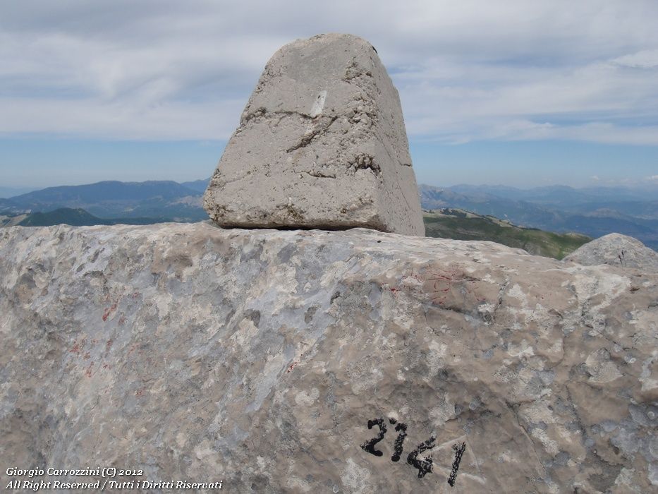
On the summit a small, aesthetically hideous concrete monolith confirms the end of the hike. From here you can't see the Lago della Duchessa: to see it you have to walk the long ridge of the Morrone to its other, half-moon-shaped end.
The descent is by the same route as the ascent or, alternatively, down via the Vado dell'Asina.
Variants and alternatives
Notes on effort and difficulty
Visitor centres and accommodation
Frequently asked questions
How long is the route to Monte Morrone via Fonte della Vena?
About 15 km out and back with 1150 m of ascent, for 5 h 30 min of walking. The climb is gradual and almost entirely on a dirt road through the beech wood up to the stazzi (shepherds' stone enclosures) of Fonte della Vena, but there are a lot of kilometres and it shouldn't be taken lightly.
Can you see the Lago della Duchessa from the summit of Monte Morrone?
No, the lake isn't visible from the summit: to see it you have to walk the long ridge of the Morrone to its opposite, half-moon-shaped end. Climbing along the ridge, on the other hand, you can admire the glacial cirque on the north side.