|
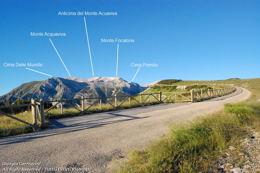
It's true that every single mountain group has its own peculiar features, but it's also true that the Majella has features that make it unique. Together with the Gran Sasso, the Majella has the highest peaks in the whole of the Apennines: Monte Amaro (2793 m); Monte Acquaviva (2737 m); Monte Focalone (2676 m)... just a few examples of how easily the peaks of this imposing group top 2500 metres. Another peculiarity of the group is how hard it is to get to. Reaching any one of these peaks undoubtedly demands a decidedly imposing physical effort, a considerable effort both on snow and in summer conditions. The Majella can also be a place of intense cold or of scorching, sultry summers. All this means that the hiker has to tackle the paths of the Majella with proper athletic preparation. The northern peaks of the group can be approached from the Majelletta ski area (Lettomanoppello and Passo Lanciano). More precisely, you can drive a long way up, as far as Rifugio Pomilio (1890 m). The high altitude of Rifugio Pomilio shouldn't lull you. The height gain to the “nearby” Monte Focalone is still a good 786 metres. A height gain made worse by the fact that to reach this summit you have to cover a good 7.5 km. So we remind hikers that the whole out-and-back route to Monte Focalone takes a good 15 km. Monte Focalone is the obligatory gateway to the other northern peaks of the group. We're talking about the most interesting peaks of the whole Majella: Monte Acquaviva and its fore-summit, Cima delle Murelle, Monte Sant'Angelo and the easy Cima Pomilio. Paradoxically, once you're on the summit of the Focalone, reaching the other peaks becomes much simpler.
Let's sum up the approximate distances.
All these peaks can be strung together in a single day on a figure-of-eight route that crosses Monte Focalone twice. The whole route, about 24 km long, is particularly long and tiring, and best done in late spring or early summer.
Let's look at each of the routes suggested above separately:
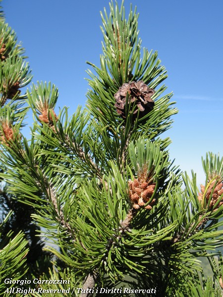
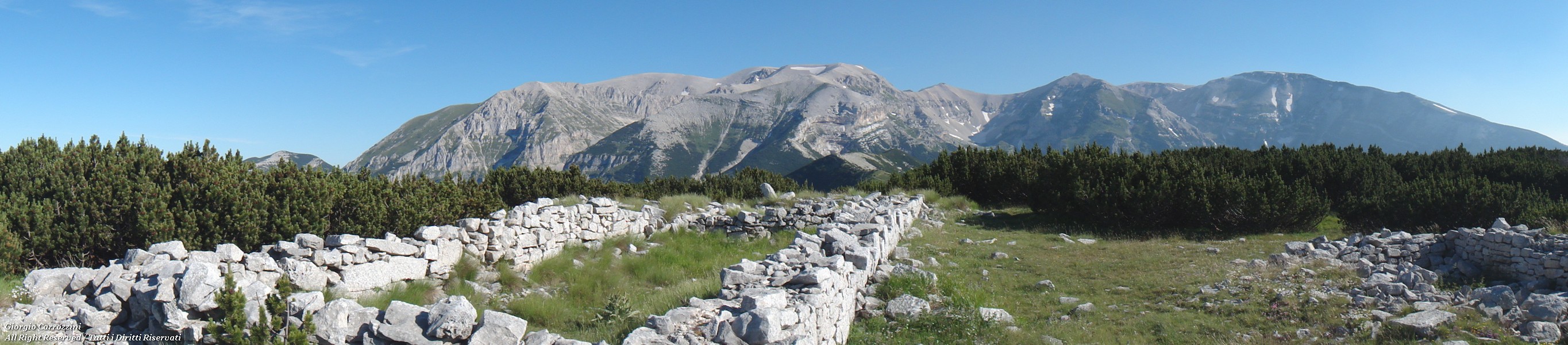
Blockhouse (2142 m) and Monte Cavallo (2171 m) from Rifugio Pomilio on the MajellettaFrom Rifugio Pomilio you follow the tarmac road that runs along the long ridge of the Majelletta to the gentle slopes of the Blockhouse. The Blockhouse is mostly covered in vegetation. Mountain pine reigns supreme. In front of the remains of a metal structure, the remains of an improbable shelter, you bear right across gentle, open grassy slopes. The route is marked by arrows, posts and clear traces of path. Halfway up the grassy slope you can make out how the mountain pine leaves room to pass and climb to the top of the Blockhouse. On the highest hump stand the ruins of an old Bourbon-era fort. To carry on towards Monte Cavallo you come down from the Blockhouse the way you went up, heading west. Here you meet the path that continues south and rejoins the normal-route path heading towards the Sella dell'Acquaviva. The height gain is really very modest and the hike is made pleasant by the path winding among the marvellous little mountain pines. The out-and-back hike can take from 3 to four hours including stops. Suitable for children too, but only in spring and summer.
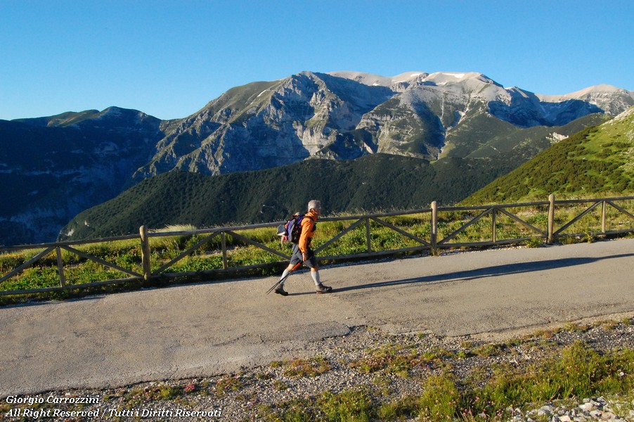
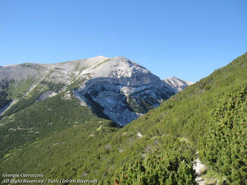
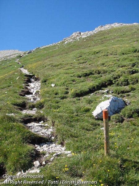
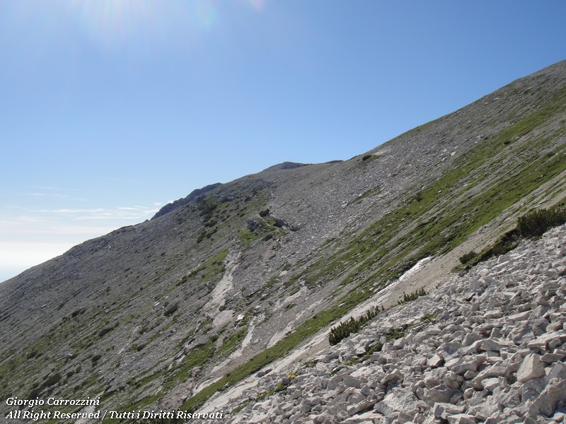
Monte Focalone (2676 m) from Rifugio Pomilio via the Sella dell'Acquaviva.From Rifugio Pomilio you follow the tarmac road that runs along the long ridge of the Majelletta to the gentle slopes of the Blockhouse. Near the metal structure at the foot of the Blockhouse you bear left, following the very obvious traces of path that wind among the lush little mountain pines. The vegetation is the most interesting thing about this very long path (about 6 km): the trees make the hike more pleasant and in summer they give you some absolutely necessary cool shade. You follow the path, with no chance of going wrong, as far as the spring on the Sella di Acquaviva (time needed: 20 min from Monte Cavallo, for a total of 1h 50m from Rif. Pomilio). Here the spring offers a trickle of ice-cold water where you can top up. From the Acquaviva spring the route gets physically demanding. We're talking about a slope made up of little moves on small rocks, winding once again among the mountain pine bushes and finally over loose rubble of all sizes. The northern aspect of the slope isn't one of the most terrible, but it keeps the hiker working continuously all the way to the top of Monte Focalone. The north faces of the Focalone are beautiful: the play of light and shadow on the mountain makes this side interesting both at first light and in the late afternoon. Halfway up the Focalone, on the left, a ridge of loose rubble stretches out and you can detour onto it: this is where the well-known Bivacco Fusco stands, although you can't see it from the ascent route. Only once you reach the summit can you see the yellow building overlooking the valley of Grotta Capra and Cima delle Murelle. The final stretch of the climb to the Focalone winds along very clear traces of path, although the endless boulder field is never missing. This is in fact the dominant feature of the Majella peaks: rubble, rubble and more rubble. This is the dominant landscape of the Majella summits; even on the more rounded peaks like the Focalone or the Acquaviva we find stones of every size. (Time needed to complete the one-way route to Monte Focalone: 3h 30m at a brisk pace).
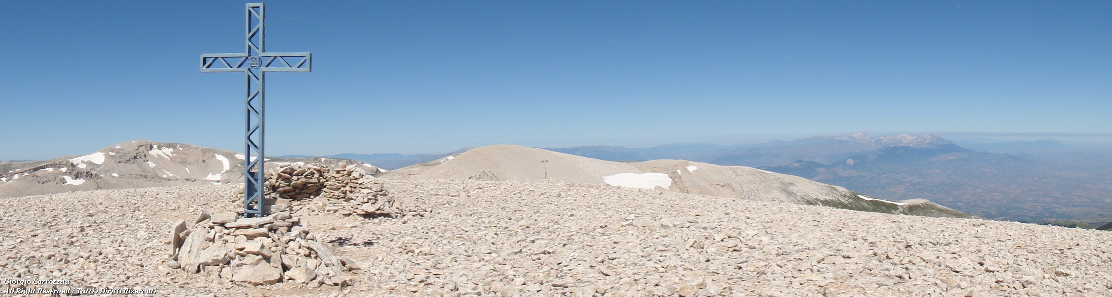
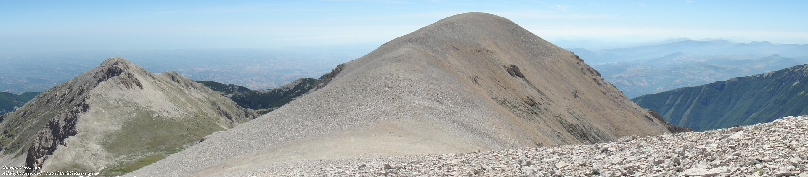
From Monte Focalone to the summits of Monte AcquavivaOnce on the summit of Monte Focalone (by the normal route from the Majelletta), the lunar landscape welcomes us in all its strangeness. Between the peaks there are no significant height differences, and reaching the nearby summits of Monte Acquaviva and its fore-summit takes no more than half an hour's walk. There are no traces of path here. The two big humps of Monte Acquaviva can be recognised to the south-east of the ascent route to the Focalone. These two big humps are covered in stones and flakes of rock. From the Focalone you can see the large summit cross of Monte Acquaviva. It's a beautiful cross donated by the CAI.
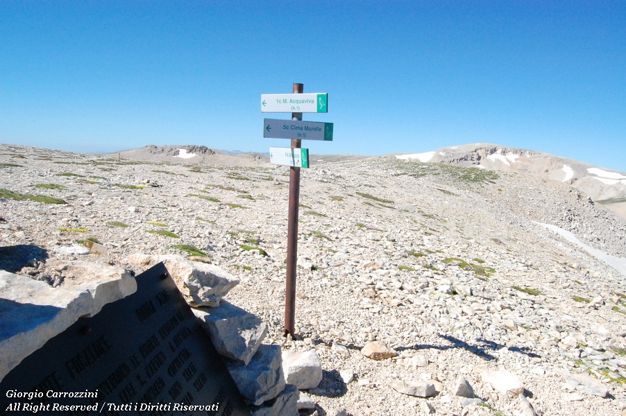
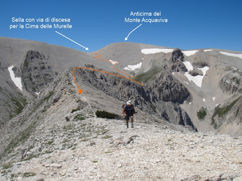
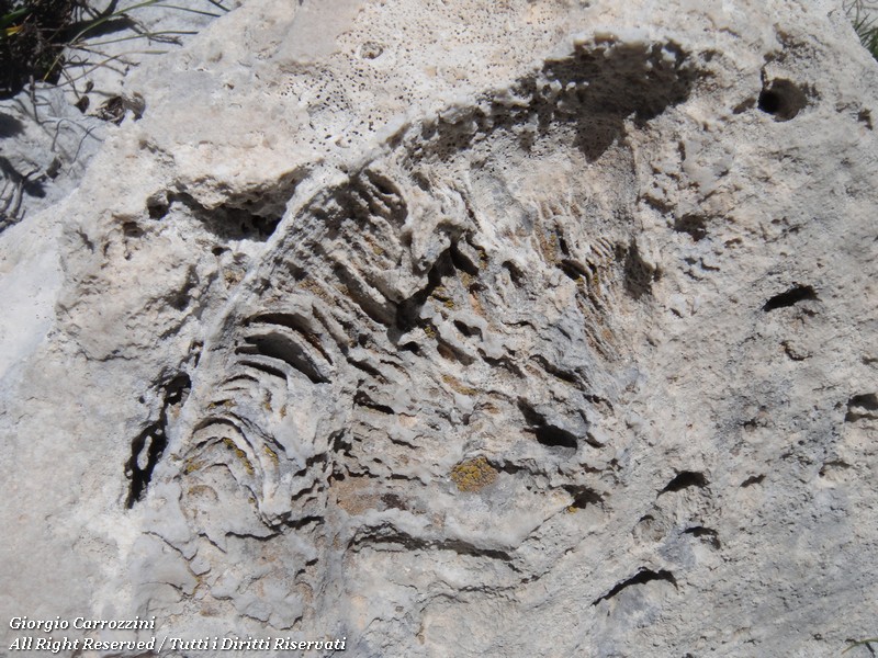
From Monte Focalone to Cima delle MurelleTo reach Cima delle Murelle you have to climb the fore-summit of Monte Acquaviva and drop down to the saddle between the two summits (the fore-summit and the main summit of the Acquaviva). From the saddle you descend easily on easy scree slopes well marked by the passage of hikers. At the bottom of the scree you meet the ridge of Cima delle Murelle. You follow the ridge practically along its whole length to the summit. Grade I moves, fairly airy. The rock formation of the ridge is marvellous, so much so that, with due care, you can even have fun on the grade I moves. One peculiarity of this peak is the enormous number of fossils set in the stones.
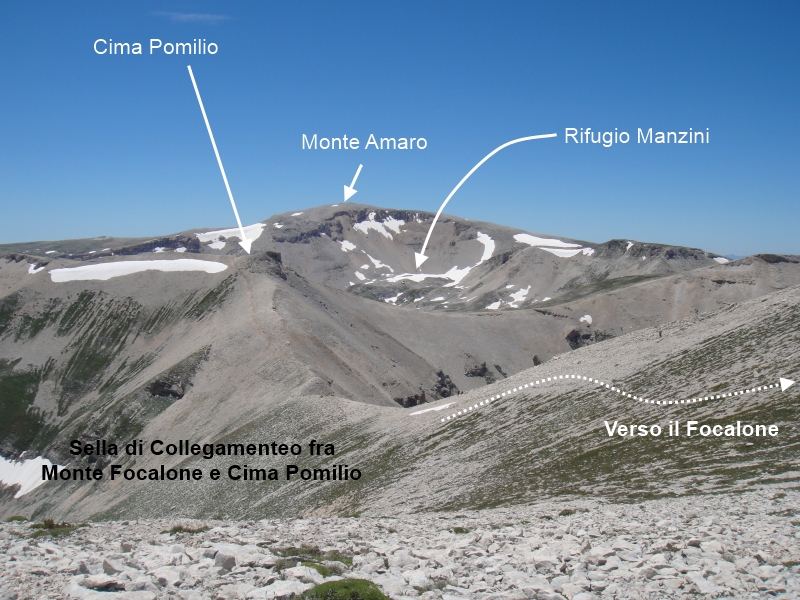
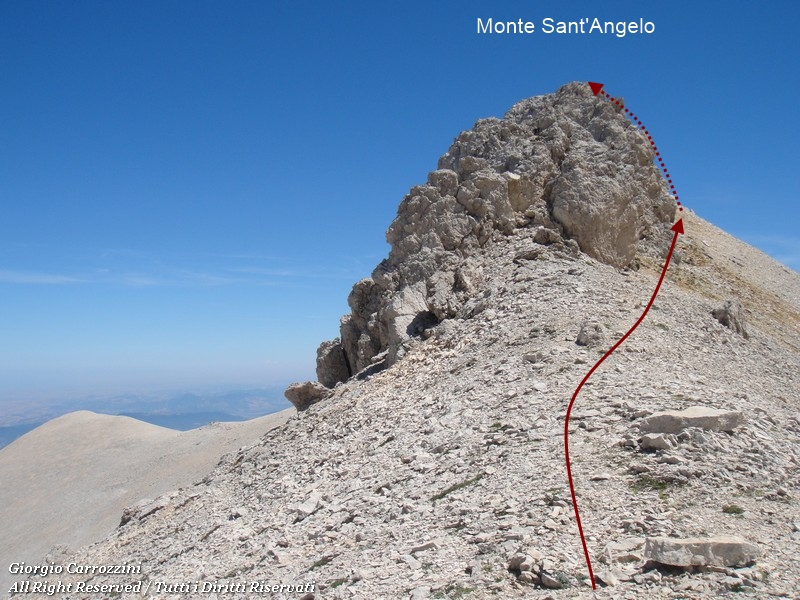
From Monte Focalone via Cima Pomilio and Monte Sant'AngeloFrom Monte Focalone, Cima Pomilio is barely half an hour's walk away. You drop down to a broad saddle, from which very obvious traces of path climb back up to Cima Pomilio. From Cima Pomilio you walk south practically without losing height. The height difference is practically nil. You skirt Monte Sant'Angelo on the right, where obvious traces of path climb along its rocky edge. The little rock spires of the summit are beautiful. Halfway along the rocky massif you turn left and scramble up easy little grade I moves. With just a few metres of height gain you quickly reach the summit cairn.
Conclusions:If on the one hand reaching the summit of Monte Focalone is long and tiring, on the other it's quick and easy to reach most of the surrounding peaks. The summits of Monte Rotondo and the Tre Portoni are also very close. All this to say that once you're up high it becomes much easier to move from one peak to another. That's why the Majella seems to be a group made for long treks and multi-day hikes. |

Photo gallery








Fact sheet
- Hike fact sheet
Fact sheet not available yet...