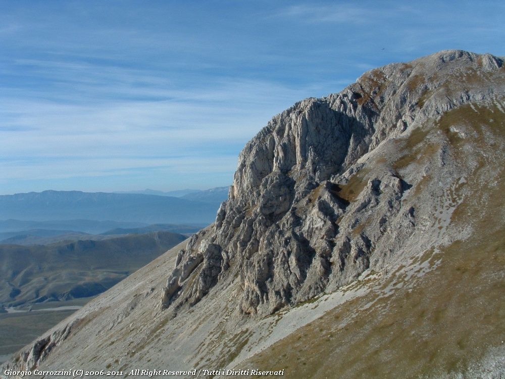
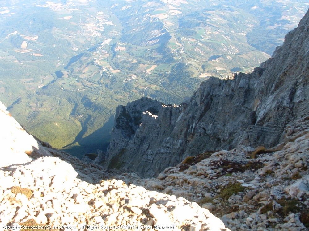
Introduction: A technically simple route, especially in the good season. Physically demanding, and it rewards you with one of the most impressive views over the drop of the North Face of Monte Camicia.
Route characteristics: The route is one of the classic ascents, and its traces of path are perfectly marked, leaving you no chance of getting lost (even in fog).
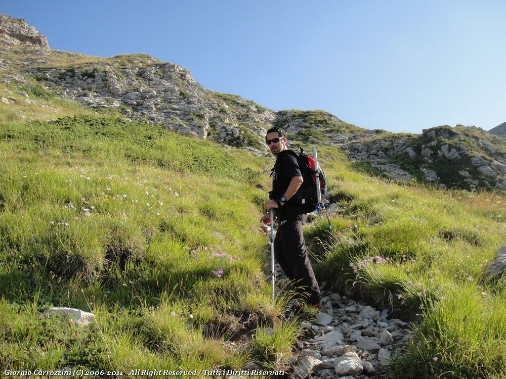
Well trodden as it is, this path still remains a physically tiring route all the same.
For a stop before or after the climb there is the Ristoro Mucciante.
In the same area of the Gran Sasso you can also climb Monte Prena by the Via dei Laghetti.
Route description
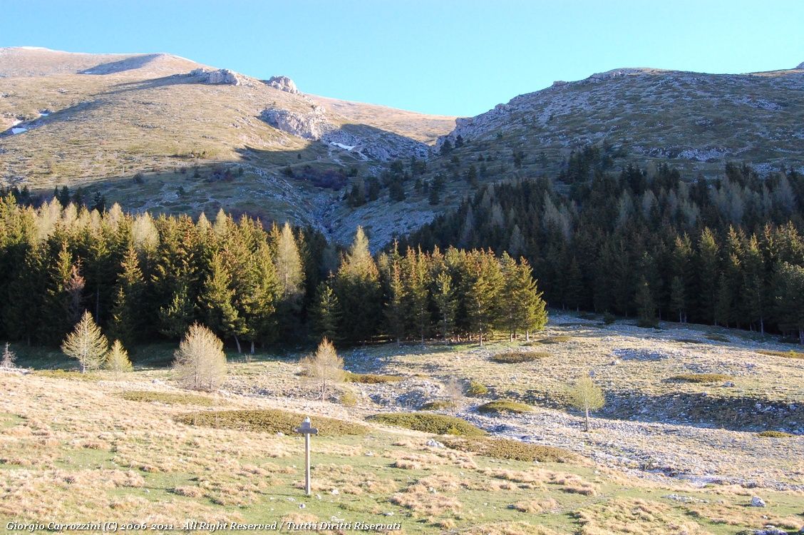
From the second car park, where we left the car, you pick up the path that heads into the wood towards the ridge of Monte Camicia. Here the path is perfectly marked as far as the foot of Monte Tremoggia. The path winds between rocks and trees and then wedges itself along the left-hand edge of a wide gully. You pass a small concrete structure that collects water to carry it down the valley (presumably to Fonte Vetica).
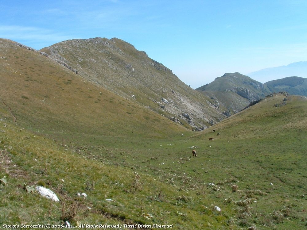
You carry on until the path bends left over small rocks and then up to a broad grassy balcony where you are likely to come across horses grazing.
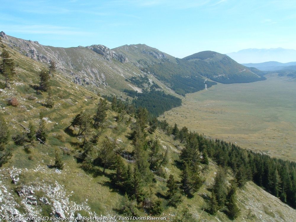
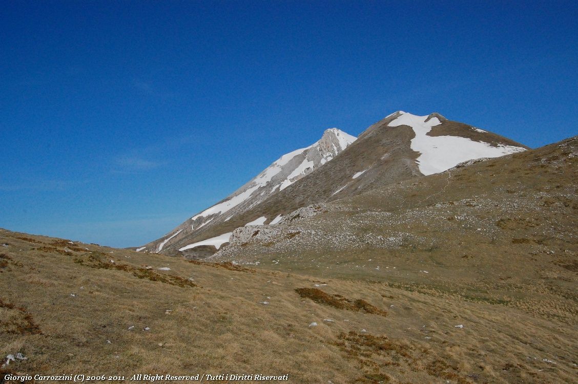
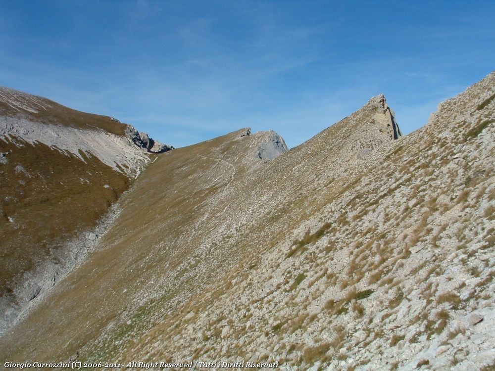
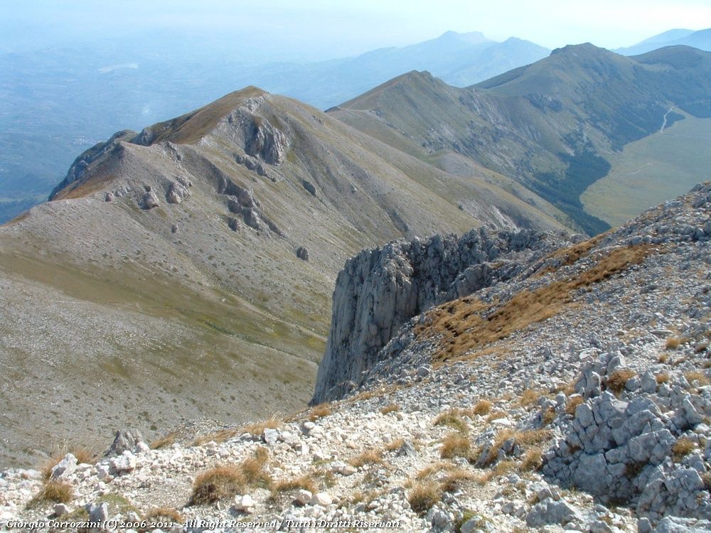
The eastern chain of the Gran Sasso stretches from east to west. To the west you can make out the great grassy hump of Monte Tremoggia. You climb the ridge, which rises at an even gradient up to the broad Tremoggia-Camicia crest. Past the summit of Monte Tremoggia you continue towards the sharper ridge of the buttresses of Monte Camicia. From this ridge, at about 2472 m, you can look out (with extreme caution) over the most spectacular drop in the Apennines: the North Face of Monte Camicia.
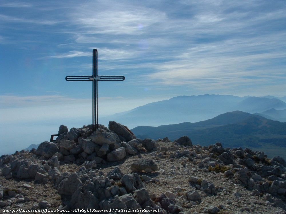
You carry on as far as a small sandy saddle and bend south. You climb the path to the summit of Monte Camicia, where you find a small metal cross.
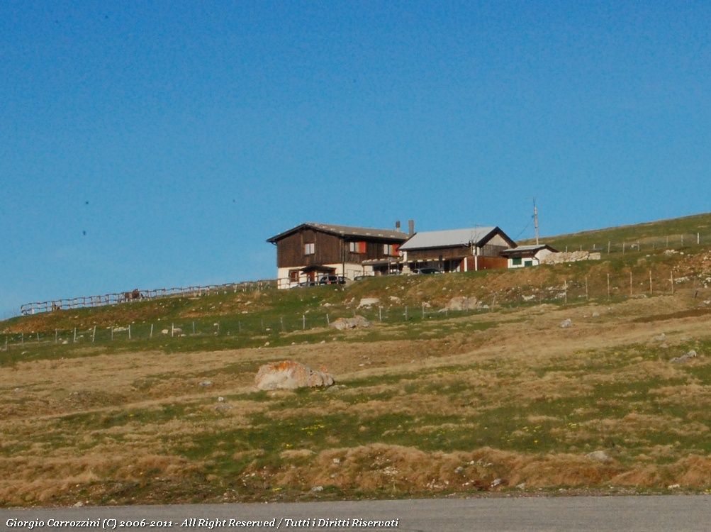
The descent does not follow the way up: you come down without passing over the Tremoggia. The path wedges itself into the valley. When there is no snow it is impossible to get lost, because the traces of path are so clear, and they lead all the way to the Fonte Vetica building.
Variants and alternatives
The variant often walked goes up by the route running alongside the Fonte Vetica building and then comes back down from the Tremoggia.
Notes on effort and difficulty
Visitor centres and accommodation
- Again from the second car park, where we left the car, you will find some picnic tables and hiking noticeboards. A wide path leads to the Fonte Vetica building, where you can stock up on water. You reach the spring on the way back.
Frequently asked questions
How long does the Monte Camicia loop from Fonte Vetica take?
The fact sheet gives about 6 hours for an 8 km loop with 950 m of height gain. You go up over Monte Tremoggia and come down through the valley without passing the Tremoggia again, as far as the Fonte Vetica building.
Is the path to Monte Camicia difficult?
It is graded EE- (for experienced hikers, lower end of the grade): technically simple in the good season, but tiring because of the height gain. The traces are clear even in fog; on the ridge overlooking the North Face you need extreme caution. It is not suitable for children.