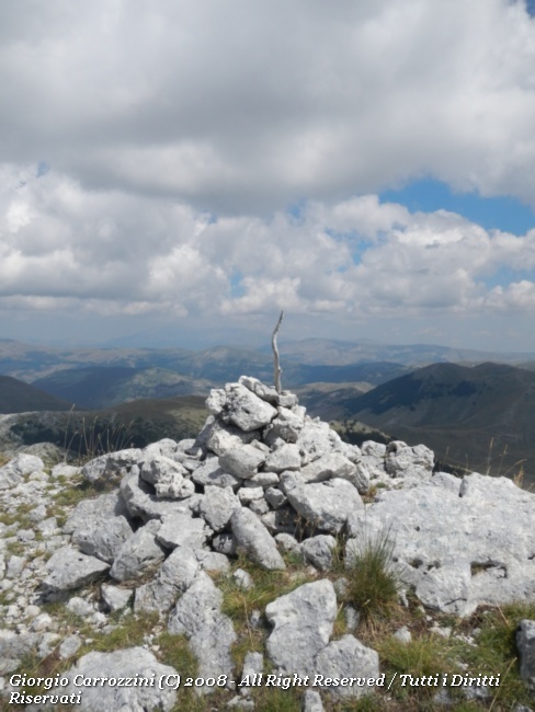
Introduction: In a still very unspoilt setting, visited in every season but almost exclusively as far as the Ferroio di Scanno, the climb to Monte della Corte is on the contrary a hike full of surprises, able to amaze with the variety of its environments.
Route characteristics: The paths, marked on the maps with the numbers Y7, Y1 and Y5, are made easier by the presence of obvious mule tracks almost to the foot of Monte della Corte.
From Passo Godi, the starting point of one of the variants, there is also the climb to the Serra di Rocca Chiarano.
Route description
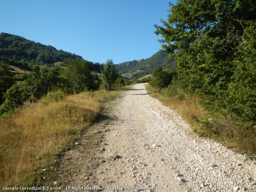
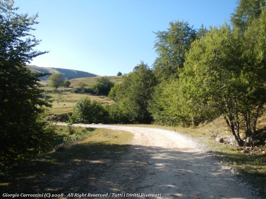
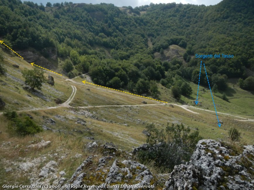
The gravel road (route Y7) can be driven as far as the Sorgenti del Tasso, but then again you go to the mountains to walk, so the suggestion is to leave the vehicle far enough away to enjoy the walk along the gravel road and the view of the valley as well.
Once at the Sorgenti del Tasso (springs; big boulders on the left) you pick out a three-way junction, in the middle of which a badly marked path climbs a gully of small rocks. The little path is marked with a post on which the number 21 can be seen. You climb the little gully, with easy moves, to come out beyond the Serra di Ziomas. Here you meet the well-marked mule track again: it is path Y1, which carries on southwards.
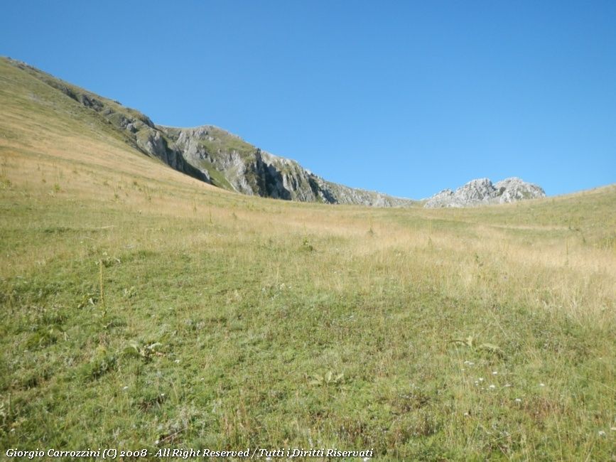
After the first hairpin bend you immediately meet a shoulder (a broad ridge) partly covered in trees. This shoulder leads you very intuitively towards the summit of Monte Campitello. For those who don't want to climb to the summit of the Campitello, just keep to the southern side and head for the obvious Vado del Campitello, a passage between two rocks that is very visible, also thanks to the traces of path.
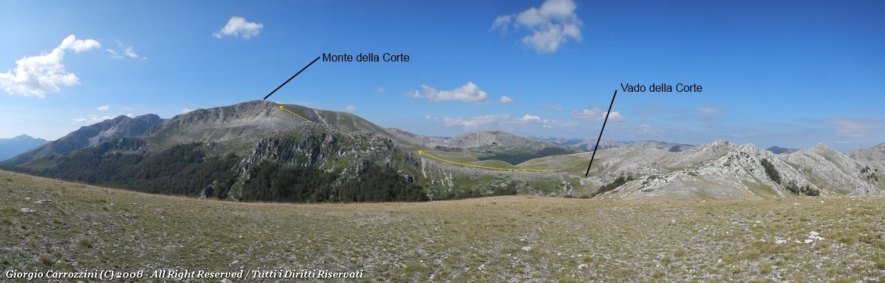
Right at the pass you climb onto the ridge (to the left, or rather southwards) that leads to the rocky mass at spot height 2038m. The rocky and very obvious ridge is sheer on the eastern side, that is, it drops away towards the valley below (Coppo del Campitello).
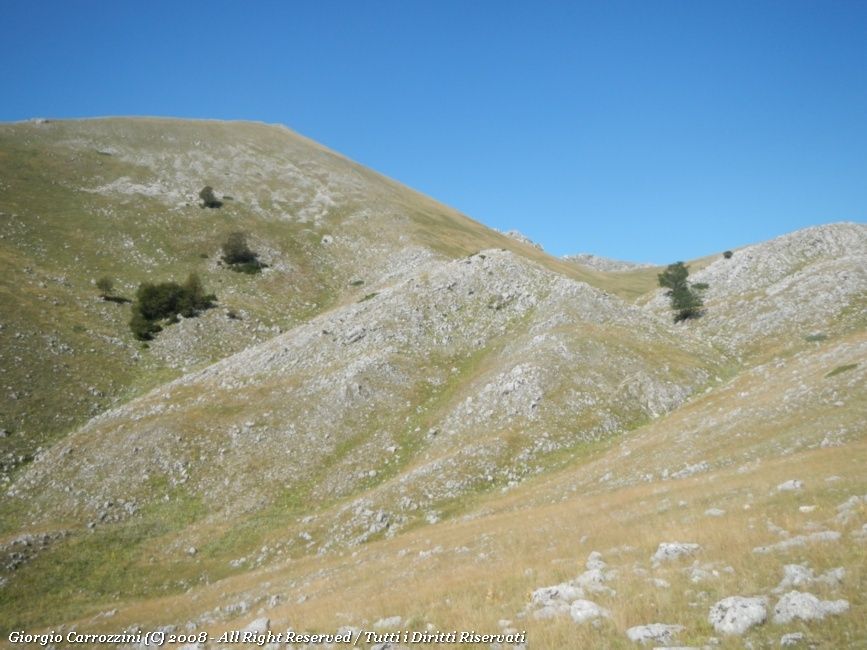
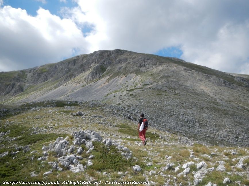
The ridge reaches a rocky saddle; you climb it over loose rubble to the summit of Monte della Corte.
The way back is by the same route.
Variants and alternatives
Option 1:
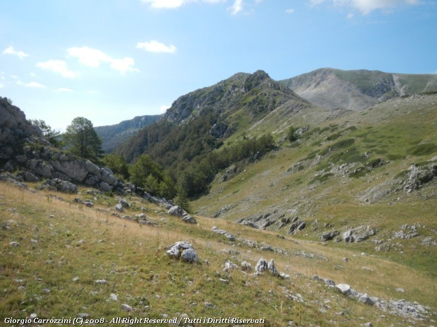
An alternative for the ascent is to follow the mule track until you enter the wood. You meet two turn-offs; in both cases you carry on to the right to stay in the valley. It is the valley of the Coppo del Campitello, from which you can enjoy a view over the rocky flanks of Monte della Corte. The mix of woodland and rock makes this landscape a real jewel, unique in the area.
You go past a first clearing, then enter the wood again, and leave the valley following traces of path up to the Vado del Campitello. From here you follow the rocky ridge and then loose rubble to the summit of Monte della Corte.
The “alternative” way up would in fact be the most natural line of ascent, though it must be said that climbing this way makes the ascent a little longer.
Option 2:
The second alternative for the ascent is to start not from the locality of La Prata but from Passo Godi. Following the gravel road of path Y1, you go past the Stazzo di Ziomas (stazzo: shepherds' stone enclosure), then carry on until you take the climb towards Monte del Campitello or, alternatively, towards Monte della Corte by the Coppo del Campitello.
Notes on effort and difficulty
Visitor centres and accommodation
Il Ranch (Località la Prata) - Bar and restaurant, with the chance to go on horseback rides at really affordable prices, reached on the road that leads to the Sorgenti del Tasso.
Riding stables phone: 338.8899706-368
Website: www.ilranchscanno.it
Frequently asked questions
Where do you leave the car for Monte della Corte?
The gravel road of path Y7 can be driven as far as the Sorgenti del Tasso, but the fact sheet suggests leaving the vehicle earlier, so as to enjoy the walk and the view of the valley. Alternatively you can start from Passo Godi along path Y1.
How demanding is the climb to Monte della Corte?
It is an EE route (for experienced hikers), moderately demanding for height gain (1100 m in total) and length (15 km), with about 7 hours of walking. The last stretch follows a rocky ridge, sheer on the east side, and climbs over loose rubble to the summit. It is not suitable for children.