Introduction: Whichever side you decide to climb it from, this mountain has to be earned from start to finish. The height gain is huge, the exposure to the sun constant. Monte Forcone is not an aesthetically interesting summit; the ascent route to this summit runs up its great bare southern flank, monotonous but also the most direct way to reach its summit.
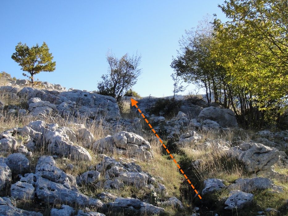
Route features: In the lower part of the route the path presents route-finding problems, especially along the edges of the wood. In this area it is easy to confuse livestock tracks with those of hikers. The rest of the route is fairly simple and you can follow it intuitively by keeping an eye on the summit.
The loop runs through the Abruzzo, Lazio and Molise National Park, on the edge of a strict nature reserve area frequented by red deer and bears.
In the same Monti Marsicani group you can also climb Serra di Rocca Chiarano from Passo Godi.
Route description
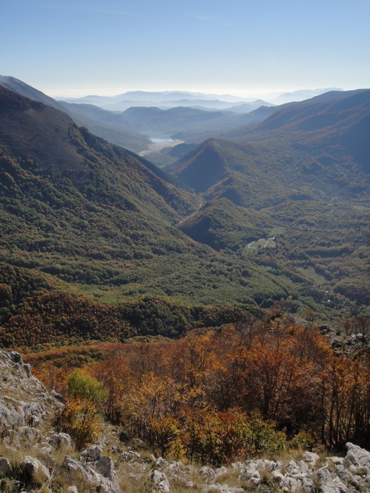
Having left the car, you move through the undergrowth towards north-north-east, almost parallel to the road, which however we quickly lose sight of. You go into the wood until you clearly pick out the path, which climbs with continuous bends for about two hundred metres of height until you are almost out of the wood (a wood we recommend visiting in autumn), which has truly intense colours. Halfway through the wood we find a sign (Grotta, cave): bear in mind that this is still the land of the Marsican brown bear, and venturing into certain places is at your own risk.
The vegetation slowly becomes sparser and sparser; there are traces of grazing, a trough for watering the animals and traces of path (livestock passage) that confuse the hiker.
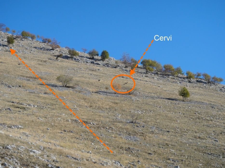
Out of the wood we have before us the monotonous great bare flank of Monte Forcone, which forms a “V”-shaped funnel; you bear more and more to the east, towards a not very obvious ridge line on the mountain. Here the route becomes at least more fun and interesting. Using hands and feet on the rock decidedly varies the hike, which would otherwise be decidedly monotonous. Keeping as far east as possible you can enjoy the view towards the strict nature reserve area. It's not rare to see red deer go by, which clearly want nothing to do with staying inside the strict nature reserve and tend to roam all over the Marsicano.
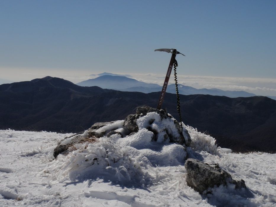
Continuing to climb towards the summit of the Forcone, the slope becomes gentler and gentler. The summit is nothing much; only the nearby Monte Petroso appears in all its magnificence. Unfortunately, as it is against the sun, the photographic result is very limited. Towards Monte Godi and Serra di Rocca Chiarano, here too the landscape is rather anonymous because of the shape of these mountains.
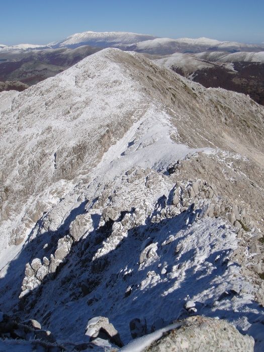
Heading west beyond the summit of Monte Forcone you reach the orographic summit of the Marsicano (the true summit). From here you can descend towards Monte Ninna, which lies on the edge of the strict nature reserve enclosed at the foot of the valleys of Monte Forcone. Going down the ridge that leads to Monte Ninna you have to get past a few short little grade I moves (careful if there is snow: the slope becomes slippery and treacherous).
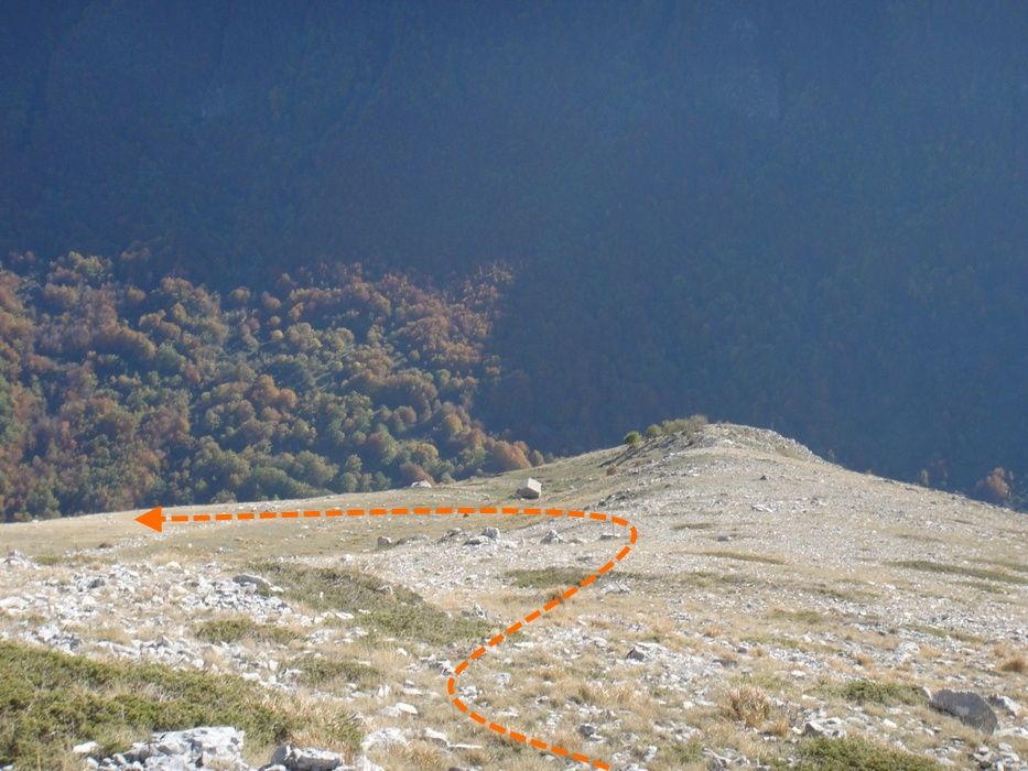
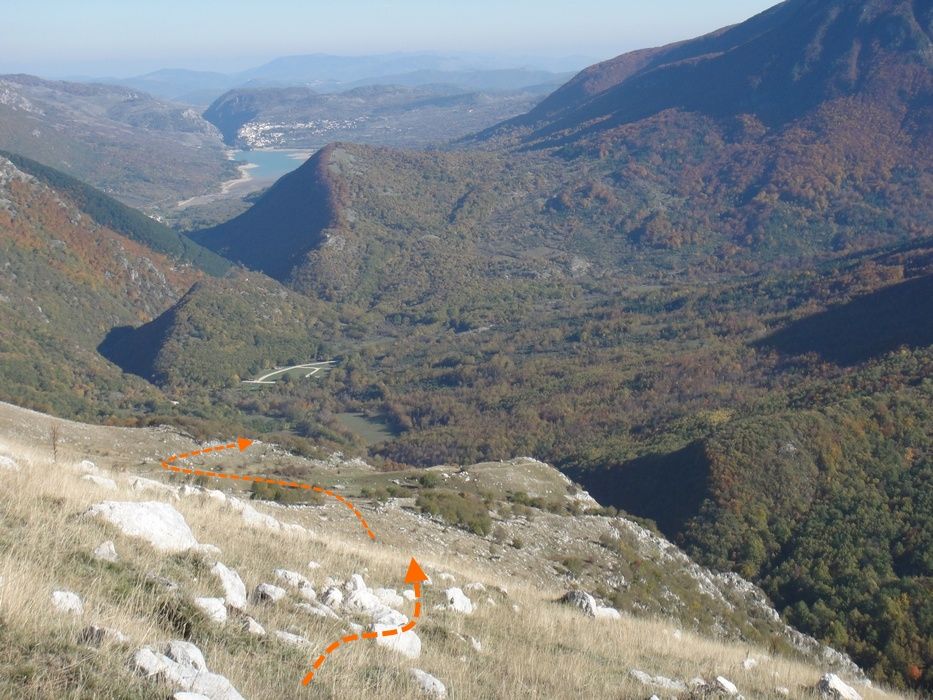
The descent begins near the orographic summit of Monte Marsicano: you slip into the valley following very obvious traces of path. These traces will lead you close to a ruined stazzo, which lies halfway up the slope at about 1600 m. From here you must bear sharply east, trying to rejoin the ascent path as closely as possible. This is where the biggest route-finding problems are. Although it is hard to find the path again after losing a lot of height, you are bound to come across traces of path, find the path and re-enter the wood. The path will take us back to the starting point where we had left the car.
Variants and alternatives
A possible variant is to also reach point 2161 m, to the north-north-east of Monte Forcone, a little top from which you can enjoy an excellent view over Monte Ninna and the summits of the Forcone and the Marsicano.
Notes on effort and difficulty
Frequently asked questions
How difficult is the loop over Monte Forcone and Monte Ninna?
It is graded EE+ (Escursionisti Esperti: for experienced hikers; the + marks the upper end of the grade) and is physically very demanding: about 1350 m of ascent over 9 km and 8 hours. There are stretches with uncertain traces of path and, going down towards Monte Ninna, short grade I moves, slippery when there is snow.
Is there a risk of losing the path?
Yes, especially in the lower part along the edge of the wood and on the way back from the stazzo (shepherds' stone enclosure) at 1600 m: livestock tracks get mixed up with those of the path and the waymarking is incomplete. It is best to follow the red-and-white paint marks carefully.