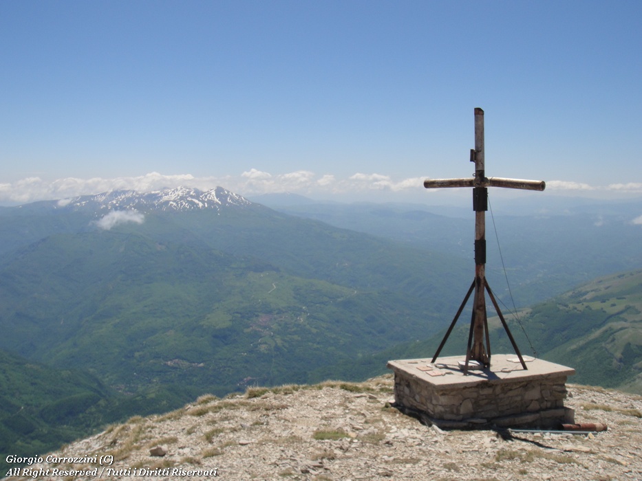
Introduction: The route to the summit of Monte Vettore is an Apennine classic. A summit of over 2400 metres rising in front of the Adriatic Sea, which you can see on clear days. The view is superb, and already from the Vettoretto promontory you can watch the sunrise over the Adriatic. A fascinating mountain, varied in its looks and in its route.
Route features: The path is very (even too) well-trodden and has no particular difficulties, just one passage of a couple of metres where less experienced hikers tend to use hands and feet. The meadows are home to Orsini's vipers, so thick socks and long trousers are strongly recommended.
Among the notable places on the route is Rifugio Tito Zilioli.
Route description
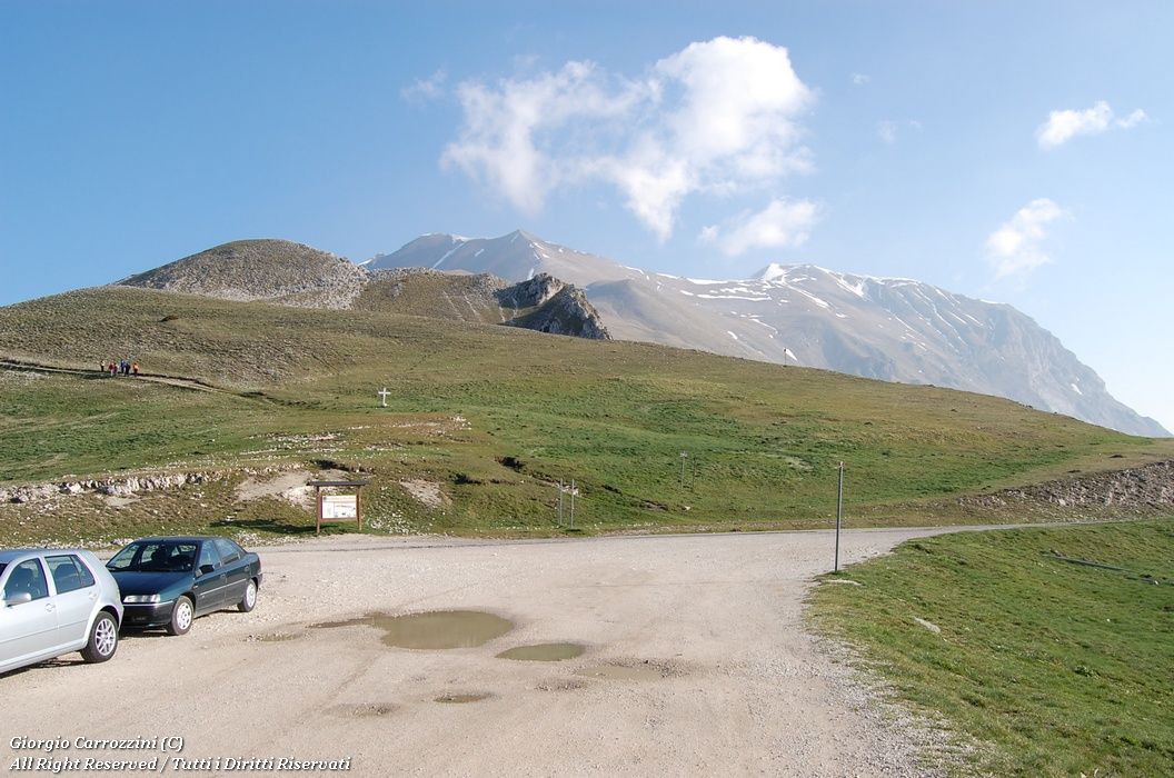
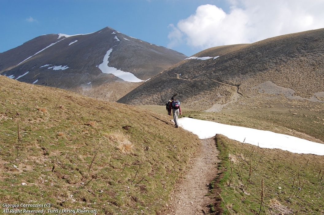
Having left the car at Forca di Presta, you quickly pick out the traces of path which, as we said, are very well-trodden. Along the way there are constant side tracks branching off the route. To avoid continual damage to the land you are required (as in all parks) to stay on the main path. You climb, in places with wide zigzags, on scree that is definitely easier to go up than to come down. Early in the morning the spring landscape over the Pian Grande is beautiful: as it fills with mist it gives Castelluccio a truly medieval look.
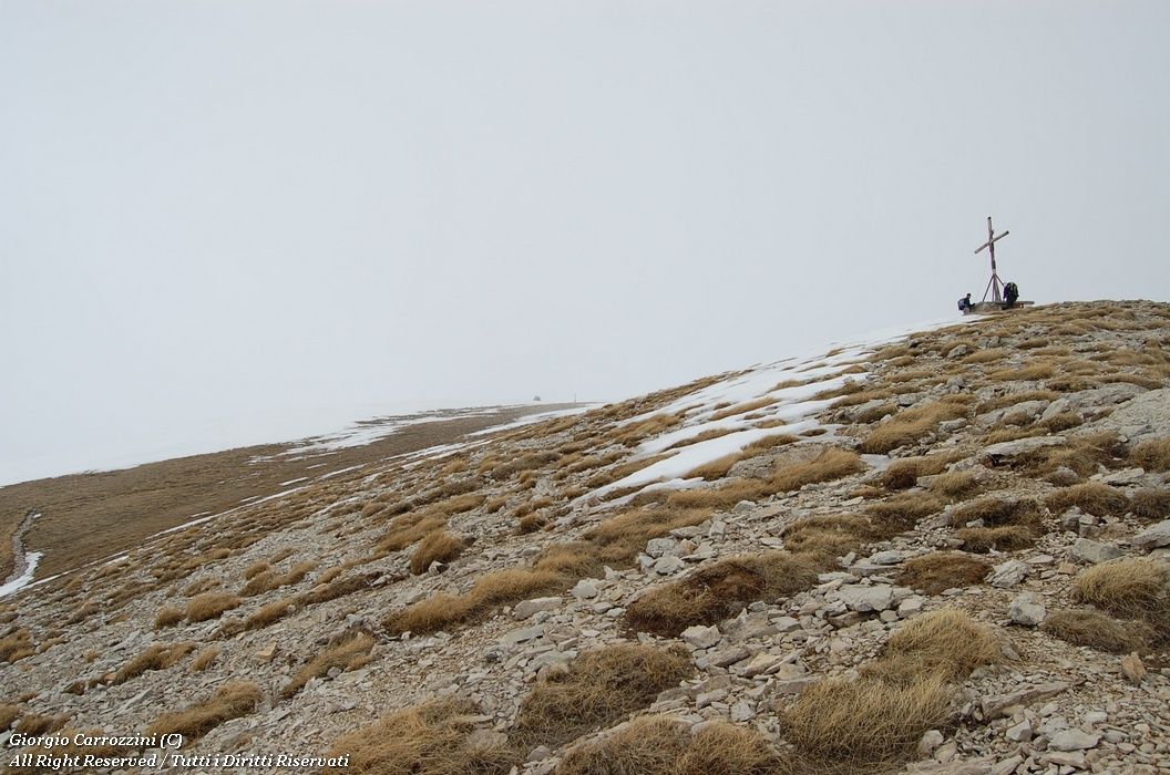
You reach a promontory without a cross in barely an hour (depending on your pace). The Vettoretto has been considered a 2000-metre summit, but it must be said that it is hard to pick out a well-defined top. It is more of a hill at the foot of the main massif.
From the Vettoretto, where you can take a first rest, you can already see the Rifugio Zilioli building and, beyond it on the eastern side of the massif, make out the summit of Monte Vettore.
The crest is clearly cut by the path, which marks it sharply on a diagonal.
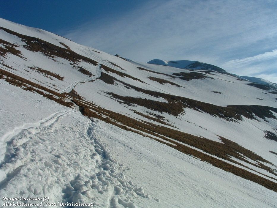
You reach Rifugio Zilioli in barely forty-five minutes. From here, another half hour to forty minutes or so of walking brings you to the summit.
Variants and alternatives
This isn't a real variant but a detour that leads from the cross dedicated to Tito Zilioli to the summit of Pizzo di Pretare, a 2000-metre peak on the list of the Apennine summit collectors. Pizzo di Pretare is rather interesting because of its sharp shape and the steep face that drops sheer towards the village of Pretare.
Notes on effort and difficulty
Visitor centres and accommodation
Rifugio degli Alpini (ANA) at Forca di Presta
Frequently asked questions
How difficult is the normal route to Monte Vettore from Forca di Presta?
It is graded E+ (CAI scale: E = hiking path, the + marks the upper end of the grade). There are no technical difficulties: the path is very well-trodden and there is just one passage of a couple of metres where you use hands and feet. The traces of path rule out route-finding problems even in fog.
How much height gain is there from Forca di Presta to the summit of the Vettore?
The total ascent is about 950 metres. You start from an already high altitude and in about an hour, depending on your pace, you reach the Vettoretto promontory (2052 m), from where you carry on towards the summit at 2476 m.