Introduction: Cima del Venaquaro and Cima Falasca are two relatively low grassy promontories on the line joining the summit of the Malecoste with the isolated massif of Monte Corvo. They are two isolated summits over two thousand metres high, of little mountaineering interest. Reaching them, from whatever starting point you choose, takes considerable physical effort, since they sit in the very heart of the Gran Sasso massif.
Route characteristics: the route has no particular technical difficulties. The path leads to the foot of Monte Corvo with no chance of losing the way even if fog comes down. From the Stazzo della Solagne the absence of a waymarked path may cause some uncertainty in choosing the line of ascent.
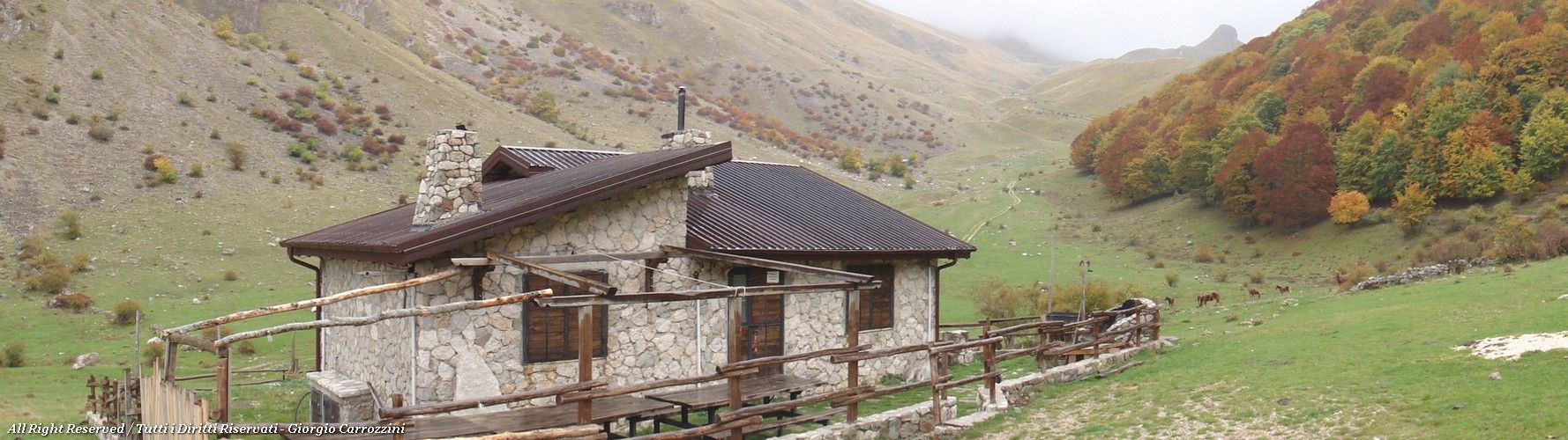
On the way up you pass Rifugio Domenico Fioretti, at about 1500 m.
Route description
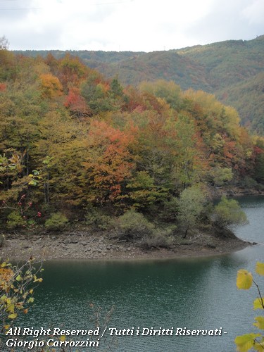
From the dam of Lago della Provvidenza you go on foot along a gravel road that once led all the way to Rifugio Fioretti. The road is cut off by a landslide that has carried away about 100 metres of road. What remains today is a stretch of road covered in plastic sheeting to stop more water seeping in, which would bring down the rest of the hillside.
Lower down a road has been rebuilt that only State Forestry Corps vehicles can use.
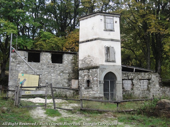
From Lago della Provvidenza to Molino Capelli it takes about 1 hour on foot. Next to Molino Capelli there is the small and very pretty church of San Martino, recently restored by the Corpo Forestale dello Stato (State Forestry Corps).
From Molino Capelli to Rifugio Fioretti the route is completely obvious: you follow the gravel road with no chance of getting lost. Shortly before reaching Rifugio Fioretti you come to a picnic area with tables, which makes you imagine how popular this area must have been with local visitors before the landslide cut off the road. Another 30 minutes on foot to the picnic area.
Rifugio Fioretti is at an altitude of about 1500 metres and you reach it practically without effort, despite the 6 km from Lago della Provvidenza (about 2 hours' walk from the start).
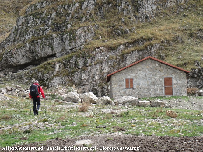
The more demanding hiking part is the one leading from Rifugio Fioretti to the Stazzo della Solagne (a stazzo is a shepherds' stone enclosure) and then on to the two summits, Cima Falasca and Cima del Venaquaro.
To reach the Stazzo della Solagne takes about another 30 minutes' walk. The hardest moment is the climb from the Stazzo della Solagne. In barely 1.5 km you gain almost 600 metres of height, at a gradient that keeps your muscles under constant strain.
From the Stazzo della Solagne you bend right, keeping to the edge of the crest line that leads straight to the summit of Cima Falasca (the lower of the two summits).
From this summit you then go down to a small grassy saddle, from which you quickly climb back up to the summit of the Venaquaro.
Variants and alternatives
No variants available for this route.
Notes on effort and difficulty
A very demanding hike physically. If you don't want to do the whole route, you can stop at Rifugio Fioretti for a picnic (6.5 km).
Visitor centres and accommodation
No visitor centre to report.
Frequently asked questions
How long does it take to climb Cima del Venacquaro from the Val Chiarino?
It takes about 8 hours 30 minutes there and back. From the dam of Lago della Provvidenza to Rifugio Fioretti it is about 2 hours on a gravel road; the hardest stretch is the climb from the Stazzo della Solagne, almost 600 m in 1.5 km.
Can you do a shorter outing with children?
The full hike is not suitable for children. You can, however, stop at Rifugio Fioretti, at about 1500 m, where a picnic area with tables under the beech wood lets you have a picnic after about 2 hours of almost effortless walking.